Fox Point in Providence in Providence County, Rhode Island — The American Northeast (New England)
Welcome to India Point Park / Welcome to Fox Point
Providence Harbor Walk at Fox Point & India Point
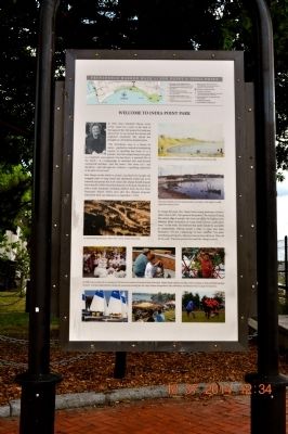
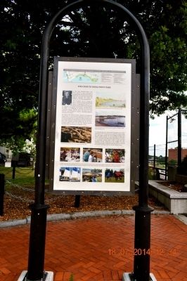
Welcome to India Point Park
In 1962, Mary Elizabeth Sharpe wrote of her vision for a park at the head of Narragansett Bay. Her passion for landscape allowed her to see beyond the abused and neglected waterfront. She shared her thoughts in a Providence Journal article. “The Providence area is a dream by nature… perched to overlook a breathtaking expanse of sparkling bay front… It is a paradox that this beauty has gone so completely unrecognized. Our bay-front –a potential “Rio” of the north’- is a hodgepodge of unrelated and semi-decayed commercial activities… and will again be, I believe- a sparkling inspiration in the plan of our town.”
Mrs. Sharpe set the wheels in motion. Land had to be bought and swapped, piles of scrap metal and abandoned tracks had to be removed and money had to be raised. Mrs. Sharpe herself donated more than $150,000 toward development of the park. Hundreds of others made donations, including children from the Fox Point Elementary School. Twelve years after Mrs. Sharpe’s proposal, India Point Park was dedicated on September 7, 1974.
An aerial drawing illustrates Albert Veri’s vision of India Point Park.
In 2000, concern about the re-routing of I-195 led to the creation of Friends of India Point Park. Rhode Island residents and other visitors continued to enjoy and help maintain the park. Activities depicted below include the community boating fleet the Cape Verdean Independence Day celebration, Mexican Soccer League tournaments.
This watercolor by Edward Peckham depicts the Fox Point shore in 1832
The same shoreline as in the painting above, just before work began to create India Point Park in 1974.
To design the park, Mrs. Sharp hired young landscape architect Albert Veri in 1971. Veri spoke of the project; “We wanted to bring the water’s edge to people who were cut off by the highway and industry. Rusty mountains of scrap metal covered nearly three acres.”
In his work, Veri believed that parks should be accessible to communities, offering people a place to come and enjoy themselves. “It’s but a beginning,” he later reflected. “You plant something and it grows. Adjacent areas in time will tie in. This will be the seed.” Time has proved Veri and Mrs. Sharpe correct.
Welcome to Fox Point
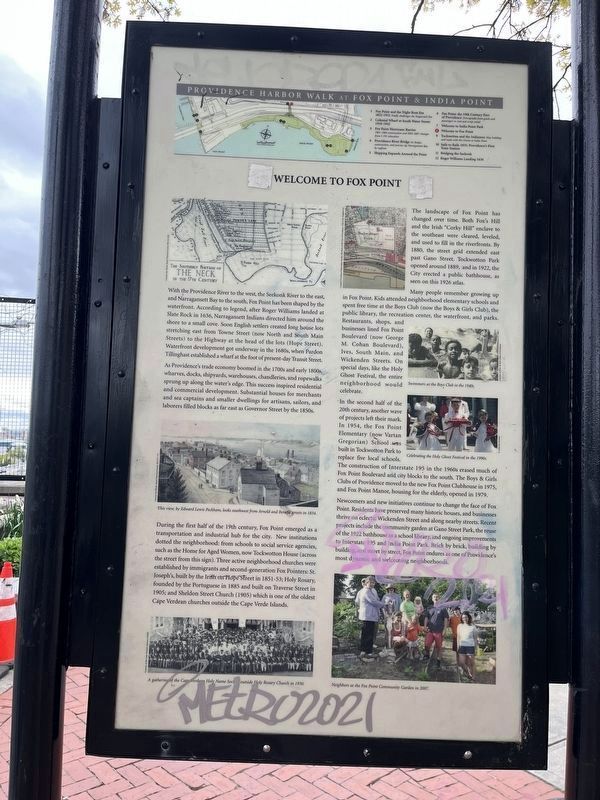
With the Providence River to the west, the Seekonk River to the east, and Narrangansett Bay to the south, Fox Point has been shaped by the waterfront. According to legend, after Roger Williams landed at Slate Rock in 1636, Narrangansett Indians directed him around the shore to a small cove. Soon English settlers created long house lots stretching east from Towne Street (now North and South
As Providence's trade economy boomed in the 1700s and early 1800s, wharves, docks, shipyards, warehouses, chandleries, and ropewalks sprung up along the water's edge. This success inspired residential and commercial development. Substantial houses for merchants and sea captains and smaller dwellings for artisans, sailors, and laborers filled blocks as far east as Governor Street by the 1850s.
During the first half of the 19th century, Fox Point emerged as a transportation and industrial hub for the city. New institutions dotted the neighborhood: from schools to social service agencies, such as the Home for Aged Women, now Tockwotton House (across the street from this sign). Three active neighborhood churches were established by immigrants and second-generation Fox Pointers: St. Joseph's, built by the Irish on Hope Street in 1851-53; Holy Rosary, founded by the Portuguese in 1885 and built on Traverse Street in 1905; and Sheldon Street Church (1905) which is one of the oldest Cape Verdean churches outside of the Cape Verde Islands.
The landscape of Fox Point has changed over time. Both Fox's Hill and the Irish "Corky Hill" enclave to the southeast were cleared, leveled, and used to fill in the riverfronts. By 1880, the street grid extended east past Gano Street. Tockwotton Par opened around 1889, and in 1922, the City erected a public bathhouse, as seen on this 1826 atlas.
Many people remember growing up in Fox Point. Kids attended neighborhood elementary schools and spent free time at the Boys Club (now the Boys & Girls Club), the public library, the recreation center, the waterfront, and parks. Restaurants, shops, and businesses lined Fox Point Boulevard (now George M. Cohan Boulevard), Ives, South Main, and Wickenden Streets. On special days, like the Holy Ghost Festival, the entire neighborhood would celebrate.
In the second half of the 20th century, another wave of projects left their mark. In 1954, the Fox Point Elementary (now Vartan Gregorian) School was built in Tockwotton Park to replace five local schools. The construction of Interstate 195 in the 1960s erased much of Fox Point Boulevard and city blocks to the south. The Boys & Girls Clubs of Providence moved to the new Fox Point Clubhouse in 1975, and Fox Point Manor, housing for the elderly, opened in 1979.
Newcomers and new initiatives continue to change the face of Fox Point. Residents have preserved many historic houses, and businesses thrive on eclectic Wickenden Street and along nearby streets. Recent projects include the

Photographed By Devry Becker Jones (CC0), May 4, 2023
4. Welcome to India Point Park / Welcome to Fox Point Marker
Topics. This historical marker is listed in these topic lists: Bridges & Viaducts • Churches & Religion • Colonial Era • Immigration • Industry & Commerce • Parks & Recreational Areas • Settlements & Settlers • Waterways & Vessels • Women. A significant historical month for this entry is September 1876.
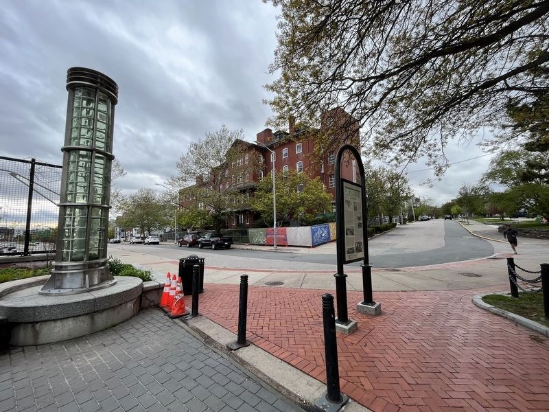
Location. 41° 49.137′ N, 71° 23.644′ W. Marker is in Providence, Rhode Island, in Providence County. It is in Fox Point. Marker is on George M Cohan Blvd. The marker stands at the top of the overpass in the Fox Point Area. Touch for map. Marker is in this post office area: Providence RI 02903, United States of America. Touch for directions.
Other nearby markers. At least 8 other markers are within walking distance of this marker. Fox Point: The 19th Century Port of Providence / Shipping Expands Around the Point (about 500 feet away, measured in a direct line); Fox Point Cape Verdean Community (approx. 0.2 miles away); Tockwotton and the Indiamen / Sails to Rails 1835: Providence's First Train Station (approx. 0.2 miles away); Roger Williams Landing 1636 (approx. 0.3 miles away); Bridging the Seekonk (approx. 0.3 miles away); West Bank / East Bank / Washington Bridges (approx. 0.4 miles away); The Landing Place of Roger Williams (approx. 0.4 miles away); Head of Narragansett Bay / Crossing the Seekonk River (approx. 0.4 miles away). Touch for a list and map of all markers in Providence.
Credits. This page was last revised on May 7, 2023. It was originally submitted on August 4, 2014, by Sandra Hughes Tidwell of Killen, Alabama, USA. This page has been viewed 625 times since then and 28 times this year. Photos: 1. submitted on August 4, 2014, by Sandra Hughes Tidwell of Killen, Alabama, USA. 2. submitted on May 7, 2023, by Devry Becker Jones of Washington, District of Columbia. 3. submitted on August 4, 2014, by Sandra Hughes Tidwell of Killen, Alabama, USA. 4. submitted on May 7, 2023, by Devry Becker Jones of Washington, District of Columbia. • Bill Pfingsten was the editor who published this page.


