Near Fort Adams in Wilkinson County, Mississippi — The American South (East South Central)
Smith Creek Mounds
| — | Mississippi Mound Trail | — |
Photographed by Cajun Scrambler, August 4, 2016
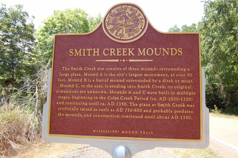
1. Smith Creek Mounds Marker
Lower Plaque
This archaeological site is on private property. Please view from the pull-off area.
NO TRESPASSING
Erected by Mississippi Department of Archives and History.
Topics and series. This historical marker is listed in these topic lists: Anthropology & Archaeology • Cemeteries & Burial Sites • Indigenous Peoples and Communities • Waterways & Vessels. In addition, it is included in the Mississippi Mound Trail series list.
Location. 31° 8.414′ N, 91° 30.936′ W. Marker is near Fort Adams,
this page online

Regionally, this marker is in Southwest Mississippi and in Natchez Trace Corridor. It is also in the American South, specifically in the Deep South, and in the Great River Road Region. Globally, it is in North America, a Gulf of Mexico state, the Western Hemisphere, the Western World, and the Anglosphere. Historically, it finds itself in what was once New Spain, the territory of the Mississippian Culture, one of the Confederate States of America, and the Antebellum South.
Other nearby markers. At least 7 other markers are within 14 miles of this marker, measured as the crow flies: Lessley Mound (approx. 4.6 miles away); Old River (approx. 7 miles away in Louisiana); Richard K. Yancey (approx. 7.7 miles away in Louisiana); Grave Of Oliver Pollock (approx. 8.8 miles away); Three Rivers Confluence (approx. 11.9 miles away in Louisiana); a different marker also named Old River
Photographed by Cajun Scrambler, August 4, 2016
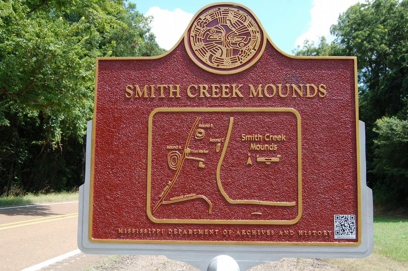
2. Smith Creek Mounds Marker
Map side B
Also see . . . Mississippi Mound Trail. Mississippi Historical markers website entry (Submitted on May 28, 2017, by Mark Hilton of Montgomery, Alabama.)
Photographed by Cajun Scrambler, August 4, 2016
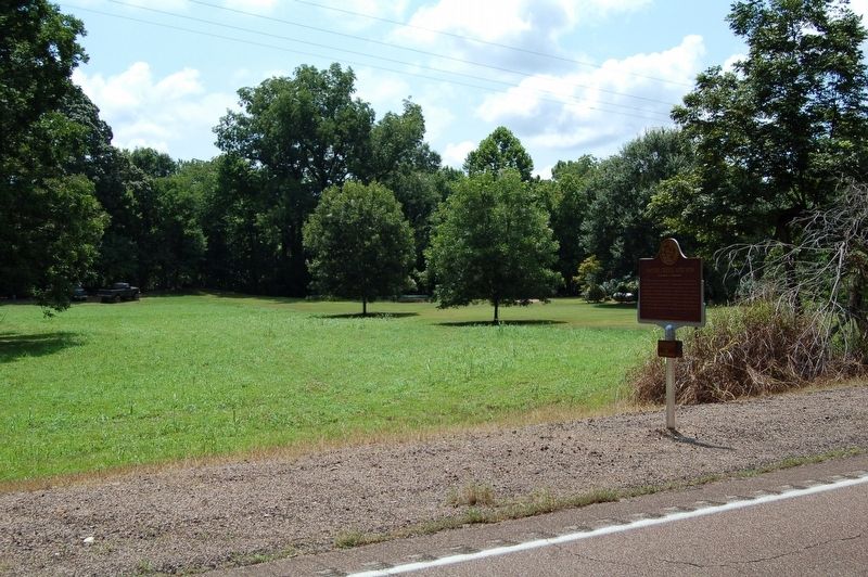
3. Smith Creek Mounds Marker
August 4, 2016
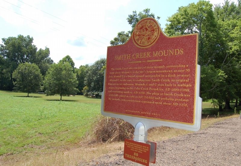
4. Smith Creek Mounds Marker
August 4, 2016
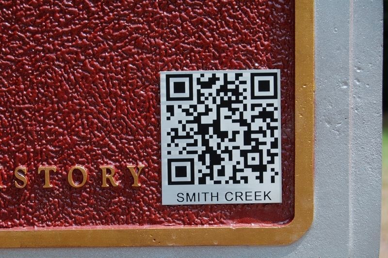
5. Smith Creek Mounds Marker QR code
Scan the QR code... It works!
Credits. This page was last revised on May 4, 2024. It was originally submitted on August 11, 2016. This page has been viewed 1,295 times since then and 77 times this year. Photos: 1, 2, 3. submitted on August 11, 2016, by Cajun Scrambler of Assumption, Louisiana. 4, 5. submitted on August 11, 2016. • Bernard Fisher was the editor who published this page.
