Historic Riverside Park
Early Days
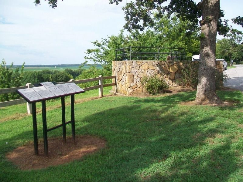
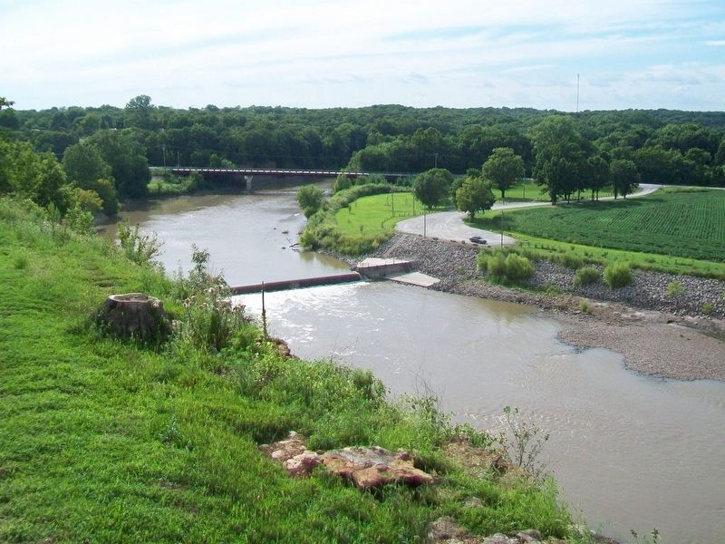
This bluff on which the Riverside Park sits is steeped in history. Towering over the plains, this site was frequented by both American Indians and early Euro-American settlers. It served as a place to observe game and also for those traveling an old road that led from central Missouri through present-day Southeast Kansas. (See center map) It crossed the Neosho River where the Oswego water plant now sits.
Far-Sighted Women
The "Lady's Entertainment Society" was formed in 1887, with the purpose of raising money to purchase this land for a park. These far-sighted women held numerous fund raising events to buy the land, which was described as "being overrun with scrub oak and brush, and fit only for rabbits and snakes." The land was purchased in October 1887, and on May 22, 1902 it was deeded to the City of Oswego for the sum of $1.
[Map showing] Indian Trail from Missouri to Osage Hunting Grounds
Development With New Deal-Era Resources
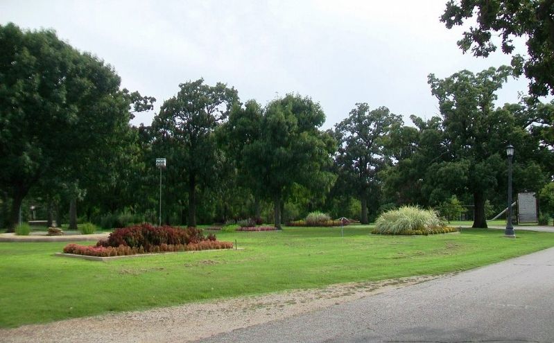
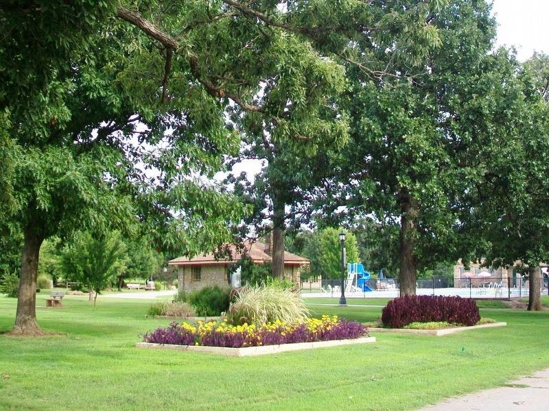
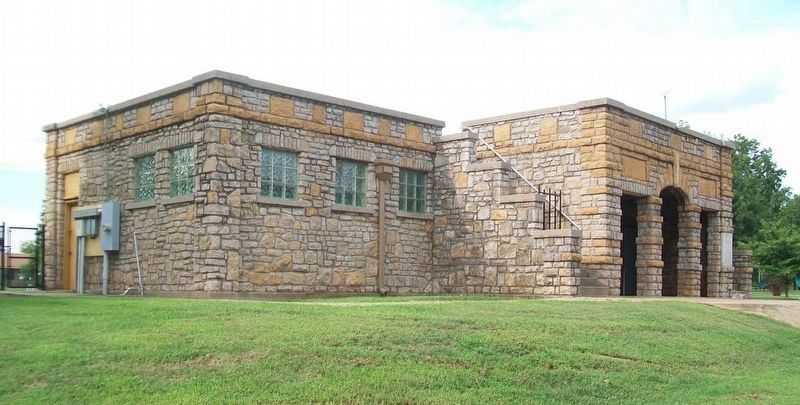
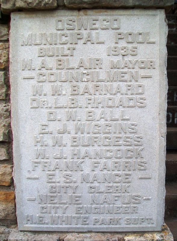
The property went mostly unused until the 1930's, when the city opted to develop the park. They built picnic shelters and issued $15,000 in bonds to build a new swimming pool, which was the second largest pool to be opened in Southeast Kansas. With labor provided by the Kansas Emergency Relief Committee, work began in 1934. The grand opening
National Historic Registry
The historic core of Riverside park, which encompasses about 17 acres, was approved for listing on the National Register of Historic Places on July 17, 2012, as part [of] the "New Deal-Era Resources of Kansas" multiple property nomination. It was officially dedicated as a Historical Site during a special ceremony on September 28, 2013.
Topics. This historical marker is listed in these topic lists: Native Americans • Natural Features • Parks & Recreational Areas • Waterways & Vessels. A significant historical date for this entry is May 22, 1902.
Location. 37° 10.558′ N, 95° 6.069′ W. Marker is in Oswego, Kansas, in Labette County. Marker is on the park's north perimeter road west of Oregon Street, on the right when traveling west. Touch for map. Marker is at or near this postal address: Riverside Park, Oswego KS 67356, United States of America. Touch for directions.
Other nearby markers. At least 8 other markers are within 10 miles of this marker, measured as the crow flies. Riverside Park (within shouting distance of this marker); The Little Town Well (approx. 0.6 miles away); John A. Mathews Park (approx. 0.6 miles away); Sulky Plow (approx. 0.6 miles away); Osage Indian Village (approx. ¾ mile away); KATY Caboose Number 109 (approx.
Also see . . .
1. Riverside Park National Register Registration Form. (Submitted on August 15, 2016, by William Fischer, Jr. of Scranton, Pennsylvania.)
2. Historical Riverside Park. (Submitted on August 15, 2016, by William Fischer, Jr. of Scranton, Pennsylvania.)
Credits. This page was last revised on September 14, 2020. It was originally submitted on August 15, 2016, by William Fischer, Jr. of Scranton, Pennsylvania. This page has been viewed 333 times since then and 19 times this year. Photos: 1, 2, 3, 4, 5, 6, 7. submitted on August 15, 2016, by William Fischer, Jr. of Scranton, Pennsylvania.

