
Sleeping Bear Dunes National Lakeshore in Leelanau County, Michigan — The American Midwest (Great Lakes)
Pierce Stocking
1908-1976
Photographed by William Fischer, Jr., August 27, 2016
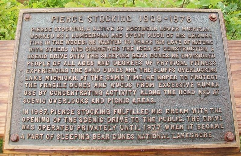
1. Pierce Stocking Marker
Pierce Stocking, a native of northern Lower Michigan, worked as a lumberman and spent much of his leisure time in the woods. He wanted to share his love of nature with others and conceived the idea of constructing a scenic drive onto the Sleeping Bear Dunes. He envisioned people of all ages and degrees of physical fitness experiencing the sand dunes and the bluffs overlooking Lake Michigan. At the same time, he hoped to protect the fragile dunes and woods from excessive human use by concentrating activity along the road and at scenic overlooks and picnic areas.
In 1967, Pierce Stocking fulfilled his dream with the opening of the scenic drive to the public. The drive was operated privately until 1977 when it became a part of Sleeping Bear Dunes National Lakeshore.
Erected by National Park Service, U.S. Department of the Interior.
Topics. This historical marker is listed in these topic lists: Environment • Parks & Recreational Areas • Roads & Vehicles • Waterways & Vessels. A significant historical year for this entry is 1967.
Location. 44° 52.463′ N, 86° 3.015′ W. Marker is in Sleeping Bear Dunes National
this page online

Regionally, this marker is in Northern Michigan Lower Peninsula, in the Grand Traverse Bay Region, and in one of the Lake Michigan Shore counties. It is also in the American Midwest. Globally, it is in North America, on the Great Lakes, in the Western Hemisphere, in the Western World, and in the Anglosphere. Historically, it finds itself in what was once the Northwest Territory.
Other nearby markers. At least 8 other markers are within 3 miles of this marker, measured as the crow flies: D.H. Day's Million-Dollar Plan (approx. half a mile away); Glen Lake Was Once a Bay (approx. half a mile away); Sand and Ice (approx. 0.6 miles away); The Moving Dune (approx. ¾ mile away); Mother Bear Is Migrating (approx. 1.4 miles away); Of Wrecks and Water Trails (approx. 1.4 miles away); The Legend of the Manitou Islands and the Sleeping Bear

via Find A Grave, unknown
2. Pierce Stocking
Also see . . .
1. Pierce Stocking. NPS Sleeping Bear Dunes National Lakeshore website entry (Submitted on March 31, 2024, by Larry Gertner of New York, New York.)
2. Pierce Stocking. Find a Grave website entry (Submitted on March 31, 2024, by Larry Gertner of New York, New York.)
3. 12 Stunning Stops On The Pierce Stocking Scenic Drive. My Michigan Beach and Travel website entry (Submitted on March 31, 2024, by Larry Gertner of New York, New York.)
Photographed by William Fischer, Jr., August 27, 2016
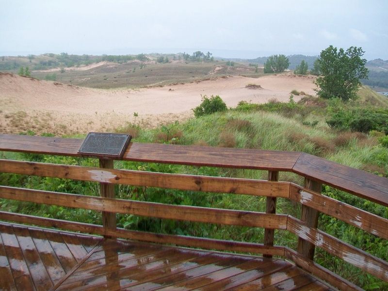
3. Pierce Stocking Marker
Photographed by William Fischer, Jr., August 27, 2016
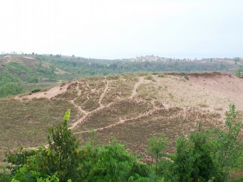
4. View from near Pierce Stocking Marker
Photographed by William Fischer, Jr., August 27, 2016
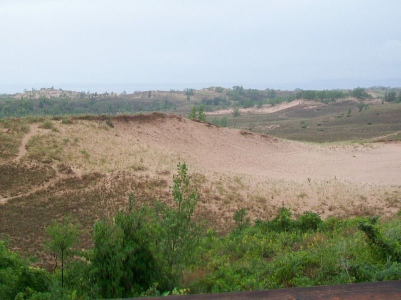
5. View from near Pierce Stocking Marker
Credits. This page was last revised on February 17, 2026. It was originally submitted on September 30, 2016, by William Fischer, Jr. of Reynoldsburg, Ohio. This page has been viewed 1,543 times since then and 52 times this year. Photos: 1. submitted on September 30, 2016, by William Fischer, Jr. of Reynoldsburg, Ohio. 2. submitted on March 31, 2024, by Larry Gertner of New York, New York. 3, 4, 5. submitted on September 30, 2016, by William Fischer, Jr. of Reynoldsburg, Ohio.
