Franklin in Macon County, North Carolina — The American South (South Atlantic)
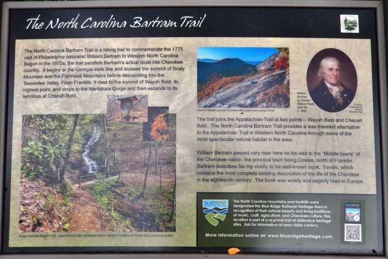
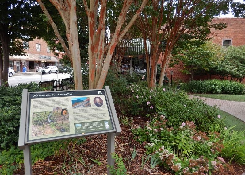
The North Carolina Bartram Trail
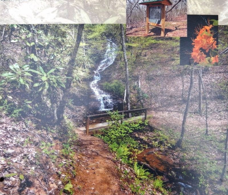
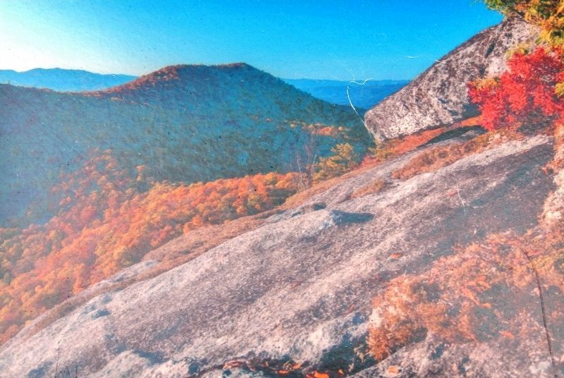
The trail joins the Appalachian Trail at two points — Wayah Bald and Cheoah Bald. The North Carolina Bartram Trail provides a less-traveled alternative to the Appalachian Trail in Western North Carolina through some of the most spectacular natural habitat in the area.
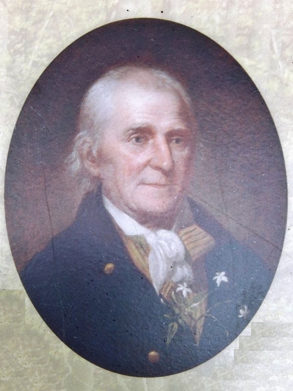
William Bartram passed very near here on his visit to the "Middle towns" of the Cherokee nation, the principal town being Cowee, north of Franklin. Bartram describes his trip vividly in his well-known book, Travels, which contains the most complete existing description of the life of the Cherokee in the eighteenth century. The book was widely and eagerly read in Europe.
More information online at: www.blueridgeheritage.com
Topics and series. This historical marker is listed in these topic lists: Colonial Era • Environment • Exploration • Native Americans • Parks & Recreational Areas • Science & Medicine. In addition, it is included in the William Bartram Trails series list. A significant historical year for this entry is 1775.
Location. 35° 10.909′ N, 83° 22.856′ W. Marker is in Franklin, North Carolina, in Macon County. Marker is at the intersection of Phillips Street and West Main Street (Business U.S. 441), on the right when traveling north on Phillips Street. Marker is located along the walkway in the Garden Club plaza which occupies the southeast corner of the intersection. Touch for map. Marker is at or near this postal address: 14 Phillips Street, Franklin NC 28734, United States of America. Touch for directions.
Other nearby markers. At least 8 other markers are within walking distance of this marker. William Bartram Naturalist (within shouting distance of this marker); Built in 1921 (within shouting distance of this marker); Battle of Echoe (within shouting distance of this marker); Macon County Confederate Memorial
(within shouting distance of this marker); Gem Mining (within shouting distance of this marker); Dixie Hall (within shouting distance of this marker); Thomas's Legion (within shouting distance of this marker); Nikwasi Mound (approx. half a mile away). Touch for a list and map of all markers in Franklin.
More about this marker. Marker is a large metal composite plaque, mounted horizontally on waist-high posts.
Related markers. Click here for a list of markers that are related to this marker. The North Carolina Bartram Trail & Blue Ridge Heritage Trail
Also see . . .
1. North Carolina Bartram Trail. Philadelphia-born naturalist William Bartram was among the most well-known of the early naturalists, botanists and explorers of his day. He traveled throughout the southeast from 1773 to 1777 and wrote exact, vivid descriptions of the plants and animals he saw and the Native Americans he encountered. In 1791, he published these writings under the title Bartram’s Travels, which has been published continuously and remains in print today in a number of world languages. (Submitted on September 12, 2018, by Cosmos Mariner of Cape Canaveral, Florida.)
2. Travels of William Bartram. Travels of William Bartram is the familiar title by which the 522-page volume by naturalist William Bartram (1739-1823) is generally referred. The work documents his four-year journey through large portions of the Southeast. Bartram made a very careful study of plants and animals, discovering new species in some cases. He also recorded the customs and history of the Seminole, Cherokee, and Creek Indian Nations, becoming one of the earliest white authorities on these peoples. (Submitted on September 12, 2018, by Cosmos Mariner of Cape Canaveral, Florida.)
Credits. This page was last revised on September 15, 2018. It was originally submitted on September 12, 2018, by Cosmos Mariner of Cape Canaveral, Florida. This page has been viewed 491 times since then and 28 times this year. Photos: 1, 2, 3, 4, 5. submitted on September 12, 2018, by Cosmos Mariner of Cape Canaveral, Florida. • Andrew Ruppenstein was the editor who published this page.
