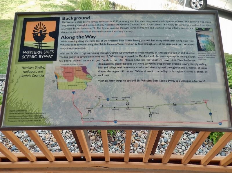
Background The Western Skies Scenic Byway, dedicated in 1998, is among the first state designated scenic byways in Iowa. The Byway is 142-miles long, traveling through Harrison, Shelby, Audubon and Guthrie Counties, and 14 rural . . . — — Map (db m238319) HM
Guthrie County Est. 1851 History Panora is located in eastern Guthrie County along the Western Skies Scenic Byway and the old Milwaukee Railway, which is now called the Raccoon River Valley Recreational Trail. Established in 1851, Panora is . . . — — Map (db m238347) HM
Loess Light-weight grains of feldspar, quartz, and mica are the material of loess. It is homogenous, clayless, and porous. The Hills are strengthened with a dry climate and endangered by erosion when excessive moisture occurs. The . . . — — Map (db m162417) HM
[Historical excerpts from marker]
The Middle River has its origin in south-central Guthrie County. However, the navigable section of Middle River begins in east-central Adair County near Middle River Forest County Park. Middle River is a . . . — — Map (db m72439) HM
Waukee History
Adapted from "The Road to Waukee's Future" By Deborah Mikelson (Originally published in the July 2014 issue of myWaukee Magazine)
Looking Back-The Very Beginning
The first people to lay the cornerstone for . . . — — Map (db m236582) HM
[Historical excerpts from marker]
The Middle River has its origin in south-central Guthrie County. However, the navigable section of Middle River begins in east-central Adair County near Middle River Forest County Park. Middle River is a . . . — — Map (db m72408) HM
Thin black lines indicate changes in relevance. Between each pair of lines entries are ordered geographically but all have the same relevance.
* Inflectional forms of words are their plurals, singulars, and possessives as well as gramatical tenses and similar variations.