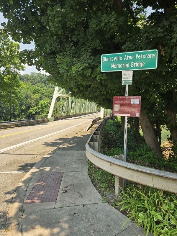
On West Market Street at North Water Street when traveling west on West Market Street.
On April 1, 1858, a Virginian named Robert Stump, a bounty hunter from Uniontown named Peter Heck, and Frost, a Deputy US Marshal for the Western District of PA crossed the old covered bridge into Blairsville. These three men were searching for . . . — — Map (db m280803) HM
On East Market Street just east of South Walnut Street (Pennsylvania Route 217), on the right when traveling east.
Ethelred "Dred" Scott was born enslaved in Virginia in 1795. In 1830, Dred's owner, a planter named Peter Blow, sold Dred to an US Army surgeon named Dr. John Emerson. Dr. Emerson was the brother of Blairsville's first physician, Dr. Edward P. . . . — — Map (db m211496) HM
On West Market Street just west of South Walnut Street (Pennsylvania Route 217), on the left when traveling west.
On April 1, 1858, Blairsville Constable George Wilkinson was summoned to quell a mob of angry Blairsville citizens. The mob, a mixture of black and white men, had surrounded three slave catchers who were attempting to kidnap a former slave named . . . — — Map (db m211497) HM
On West Market Street just west of North Walnut Street (Pennsylvania Route 217), on the right when traveling west.
On April 1, 1858, Blairsville Mayor Chester C. Davis was summoned to quell a mob of angry Blairsville citizens. The mob, a mixture of black and white men, had surrounded three slave catchers who were attempting to kidnap a former slave named . . . — — Map (db m211498) HM
On East Market Street 0.1 miles east of North East Lane, on the left when traveling east.
On April 1, 1858, Blairsville's former physician Dr. Robert M. S. Jackson and his travelling companion Mr. Peter Lesley encountered a mob of Blairsville citizens attacking two slave catchers and a deputy US Marshal. The men had come to Blairsville . . . — — Map (db m211486) HM
On West Market Street just east of North Spring Street, on the right when traveling west.
According to Graff/Johnston family descendants, Lewis Johnston and John Graff used the basement of this structure to conceal freedom seeking enslaved men, women, and children. This building originally had a rear-facing courtyard which faced Sugar . . . — — Map (db m211499) HM