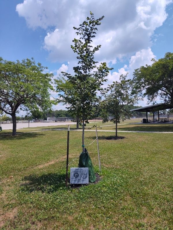
On Washington Avenue north of West 2nd Street (Ohio Route 15), on the right when traveling north.
Fort Winchester
General William Henry Harrison ordered the construction of Fort Winchester at the beginning of October 1812 and it was completed October 15. The fort served as a forward observation post and supply depot for the American army . . . — — Map (db m37974) HM
Near Fort Street at Washington Street, on the right when traveling west.
"Spemica Lawba-Johnny Logan"
In September 1786, Captain Benjamin Logan of Kentucky captured a young Indian boy during a raid across the Ohio River on the Machachac tribe towns of the Shawnee nation. Upon returning to Kentucky, Captain Logan . . . — — Map (db m28338) HM
On Bowman Road (County Road 12) at State Route 15, on the right when traveling west on Bowman Road.
Worthington's Cemetery. Known But To God. Around 1855, Archibald Worthington designated a section of his farm land for use as a cemetery. A 1936 Works Progress Administration (WPA) survey of the area noted the significance of . . . — — Map (db m286671) HM
On East River Drive (Ohio Route 424) west of Maywinn Road, on the right when traveling east.
Winchester's Camp No. 2
After completing Fort Winchester, Brigadier General James Winchester ordered his troops to cross to the north side of the Maumee River. The troops occupied the new site, Camp No. 2, from November 3-10, 1812. An . . . — — Map (db m250619) HM
On Fort Street at Jafferson Street, on the right when traveling west on Fort Street.
Around 1855. Archibald Worthington designated a section of his farm land for use as a cemetery. A 1936 Works Progress Administration (WPA) survey of the area noted the significance of the cemetery as likely the earliest and "only colored cemetery in . . . — — Map (db m268252) HM
On Delaware Bend Road south of U.S. 24, on the left when traveling south.
Tale of Ensign James Liggett
After American militia troops forcibly ended the 1812 siege of Fort Wayne, General James Winchester's Army of the Northwest marched down the north side of the Miami (Maumee) River to stop or retard advancing . . . — — Map (db m265378) HM
On Holgate Avenue, on the right when traveling north.
William C. Holgate (1814-1888) settled in Defiance in 1836. A lawyer by profession, Holgate rode on horseback to Columbus, Ohio during the winter of 1844-45 with a petition he had drafted, which resulted in the establishment of Defiance County. . . . — — Map (db m173030) HM
On East High Street, on the right when traveling east.
Ohio's Buckeye Trail (BT) was first envisioned in 1958 as a hiking trail to
connect Lake Erie to the Ohio River through the rugged hills of eastern
and southern Ohio. In 1959 a devoted group of volunteers founded the
Buckeye Trail Association . . . — — Map (db m281474) HM
On Ohio Route 424 0.3 miles west of Overly Road, on the left when traveling west.
Kentucky & Ohio Soldiers
Who died in service to our country
within Defiance County, Ohio
Ensign James Liggett •
Pvt. Wyatt Stepp •
Pvt. Guy Hinton •
Pvt. William Bevis •
4th Sgt. Nathaniel Mitchell •
Johnny Logan Indian Scout • . . . — — Map (db m173603) WM