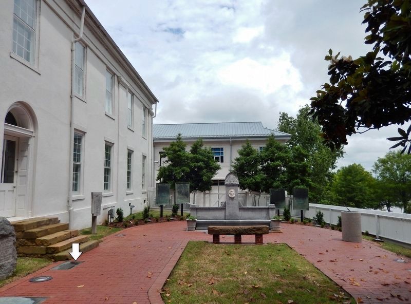
Near West Markham Street at Ashley Street, on the right when traveling west.
Co. I 113th Infantry American Expeditionary Force. Fourth on Gen. John J. Pershing's list of one hundred heroes of World War I. Cited for extraordinary heroism in action and awarded U.S. Distinguished Service Cross, French Croix De Guerre, Gilt Star . . . — — Map (db m157476) HM WM
On W Ash Street, on the right when traveling west.
During segregation in the twentieth century, Ash Street was the social and commercial heart of the Black community of Blytheville. On Saturdays, when sharecropper families would dress up and come to town, Ash could be so crowded that people would . . . — — Map (db m213826) HM
On Main Street south of Virginia Avenue, on the right when traveling south.
When established in 1789, New Madrid was one of a handful of settlements in the Spanish territory west of the Mississippi River. First as a district and later as a county, the New Madrid jurisdiction extended as far south to the northern border of . . . — — Map (db m179976) HM
On Arkansas Route 198 east of County Road 661, on the left when traveling east.
In late July 1864, Missouri Union cavalry headed south into Mississippi County to hunt for bands of guerillas. On August 2, they encountered Confederate pickets near Osceola and pursued them to the main force led by Captains Charles Bowen and H.M. . . . — — Map (db m170412) HM
Near Ripley Road (County Route 370) 0.5 miles north of Bethany Road (County Route 370), on the right when traveling west.
Long before Civil War soldiers fought at this site in 1864, this land was part of the Chickasaw Nation. Tishomingo, whose name derived from the Chickasaw title tishu minko meaning "speaker for the chief" or "assistant chief" in the Chickasaw . . . — — Map (db m61924) HM
On Center Drive at Main Street, on the right when traveling south on Center Drive.
In commemoration of
W.R. Dyess
whose vision and effort
as relief administrator
of Arkansas
fostered into a reality
Dyess Colony — — Map (db m296109) HM
On ASU Drive east of Alcorn Avenue, on the right when traveling east.
1830 - Oakland College was founded by Dr. Jeremiah Chamberlain.
Chamberlain envisioned Oakland as serving the 300,000 inhabitants
of Mississippi. Louisiana, and Arkansas. Representatives of three
Louisiana parishes and eight Mississippi counties . . . — — Map (db m119854) HM
Thin black lines indicate changes in relevance. Between each pair of lines entries are ordered geographically but all have the same relevance.
* Inflectional forms of words are their plurals, singulars, and possessives as well as gramatical tenses and similar variations.