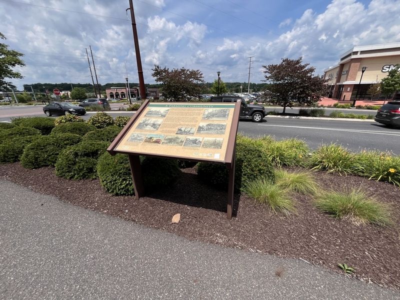
On North Krocks Road south of Fred Jaindl Memorial Highway (U.S. 222), on the left when traveling south.
The story of farming in the Macungie area spans almost four hundred years, and far longer if the seasonal villages of native Indians are included. Agriculture was the most important industry in this area from the time of the first Europeans in . . . — — Map (db m252169) HM
On North Krocks Road 0.1 miles south of Fred Jaindl Memorial Highway (U.S. 222), on the right when traveling north.
Barns in this area, with their distinctive decorations, are widely admired. Nowhere else can you find as many fine barns of the type known as "Pennsylvania standard" barns. Their signature features are symmetrical rooflines and a forebay that . . . — — Map (db m252166) HM
On North Krocks Road just south of Fred Jaindl Memorial Highway (U.S. 222), on the right when traveling north.
Like any community with a long history, the Macungie area has changed a great deal over the years. By the end of the 1700s a few small businesses and industries had started. Some, such as mills, tanneries, harness shops and blacksmiths, provided . . . — — Map (db m252206) HM
On North Krocks Road north of Hamilton Boulevard, on the right when traveling north.
Churches
Almost all of the settlers here were Lutheran and Reformed (today's United Church of Christ), and a few were Moravian. The first religious observations were held by neighbors privately in each others' homes, or with an itinerant . . . — — Map (db m252210) HM
Near Hamilton Boulevard east of North Krocks Road, on the right when traveling west.
William Penn's 1681 charter from King Charles II of England authorized Penn to create counties and towns or townships in Pennsylvania. Philadelphia, Bucks, and Chester, all created in 1682, were the first three counties. If you were standing on . . . — — Map (db m252211) HM
Near Hamilton Boulevard 0.3 miles east of North Krocks Road, on the right when traveling west.
Almost all of the early settlers practiced mixed subsistence farming and had to be self-sufficient. They had brought seeds and, when possible, livestock with them on the trans-Atlantic voyage. The European farmers who came here, mostly Germans . . . — — Map (db m252510) HM
On Hamilton Boulevard west of Brookside Road, on the right when traveling west.
The Bortz Log House has been in the care of the Lower Macungie Township Historical Society since 1989, when it was moved to its present location in Wescosville Park. It was built in the late 1700s, and for many years it was one of only three . . . — — Map (db m252224) HM
Near Hamilton Boulevard west of Brookside Road, on the right when traveling west.
Before European settlement, the area that now includes Lower Macungie Township was inhabited by people who called themselves the Lenni-Lenape (Original People); English settlers called them the Delawares. The name "Macungie" is derived from a . . . — — Map (db m252221) HM
Near North Krocks Road south of Fred Jaindl Memorial Highway (U.S. 222), on the right when traveling north.
Jasper
Mining and quarrying have been important activities in the Macungie area for many hundreds of years. The first rock to be extracted from the ground to be used by humans was jasper, which the Lenape Indians used for their tools and . . . — — Map (db m252185) HM
On North Krocks Road 0.1 miles Fred Jaindl Memorial Highway (U.S. 222), on the right when traveling south.
Railroads
Railroads came early to the Lehigh Valley for only one reason: anthracite coal. For iron to be smelted productively in the modern furnaces of the 1840s on, enormous amounts of coal needed to be brought to the furnaces. The ore . . . — — Map (db m252229) HM
Roads on the 1876 map show where the first villages developed in Lower Macungie. They began as "crossroads settlements," often with just one public building such as an inn with food, rooms and stables.
Before we had shopping centers with big . . . — — Map (db m252230) HM
Near Hamilton Boulevard west of Brookside Road, on the right when traveling west.
While viewing a rain garden, a person only sees what is on the surface; a revolving seasonal display of both vibrant and subtle seasonal colors, as well as an assortment of leafy textures. This particular rain garden utilizes a combination of . . . — — Map (db m252225) HM