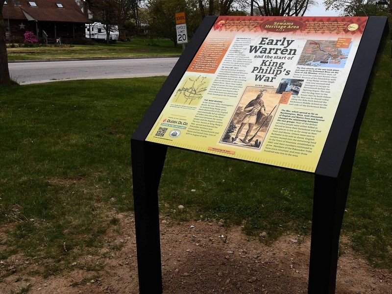
On Child Street (Rhode Island Route 103) at Hugh Cole Road, on the right when traveling east on Child Street.
The town of Warren was first settled by people from the Pokanoket Tribe, later known as the Wampanoag. The Pokanoket controlled the land from Plymouth to the eastern shores of Narragansett Bay. In 1620, “Osamequin”, which translates as “Yellow . . . — — Map (db m301430) HM
On Water Street south of Haile Street, on the left when traveling south.
The Sowams Heritage Area includes Barrington, Bristol, East Providence, Providence, and Warren RI, and Rehoboth, Seekonk and Swansea, MA. Sowams means "Southern Area” and was the historic home of the Pokanokets (later described as Wampanoags) . . . — — Map (db m296118) HM
Near Metacom Avenue (Rhode Island Route 136) 0.1 miles south of Mount Hope Avenue, on the right when traveling north.
Mount Hope (originally Montaup in the Pokanoket language) is a wooded promontory on the eastern shore of Bristol, Rhode Island overlooking the part of Narragansett Bay known as Mount Hope Bay. Before the European settlers arrived in New England, . . . — — Map (db m301431) HM
On Wampanoag Trail (Rhode Island Route 114) at Kyle Circle, on the right when traveling north on Wampanoag Trail.
Osamequin Nature Preserve and Bird Sanctuary is named in honor of the Massasoit (Great Leader) Osamequin (or Ousamequin) of the Pokanoket Tribe. Osamequin, which means Yellow Feather, led his people in helping the settlers of the Plymouth Colony . . . — — Map (db m282075) HM
Near South Lake Drive at Washington Road, on the right when traveling east.
A Conservation Success Story - Sowams Woods is a 12.3 acre parcel owned and managed by the Barrington Land Conservation Trust. It took four years, two-million dollars and a far-reaching coalition to protect the property forever. The effort . . . — — Map (db m283199) HM
On Market Street (Massachusetts Route 136) south of Stoney Hill Road, on the right when traveling south.
King’s Rock, spanning 200 ft. along today’s Warren/Swansea border, was a significant location along the route and an important place for tribal gatherings under Metacom’s older brother, Wamsutta. Tribes from all over New England were known to have . . . — — Map (db m301437) HM
On Canal Street (U.S. 44) at Park Row West, on the right when traveling south on Canal Street. Reported damaged.
The junction of five Native American trails once occupied this stretch of North Main Street, between College Street and the Y-intersection at Mill Street. The Narragansett Trail or Pequot Path, as well as the Louquassuck, Pawtucket, Wampanoag, . . . — — Map (db m223303) HM
Dighton Council Oak
Meeting Place of the Wampanoag Indians
Here King Philip met with his braves. This tree marks the center of the “old field”. Near here was the largest Indian settlement in Dighton. — — Map (db m301420) HM WM