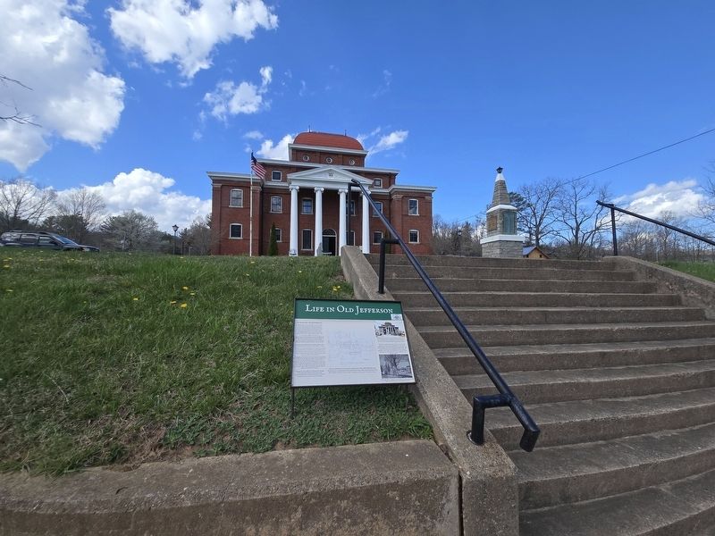
On East Main Street (Business U.S. 221) at Academy Street, on the right when traveling west on East Main Street.
A History of Jefferson
"Jefferson was a very special place at the turn of the century. The main street must have been one of the best conceived and most beautiful of its kind in the state. The pace of life was more leisurely and, in some . . . — — Map (db m269690) HM
On Government Circle 0.1 miles south of U.S. 221, on the right when traveling south.
United States of America
Ashe County, North Carolina
“Our country called, our county answered”
American Revolution
1775-1783
Approximately 40 Ashe County pioneers fought in the Revolutionary War with General
George Washington's . . . — — Map (db m228813) HM WM
On BackStreet at State Street, on the left when traveling north on BackStreet.
Horse Creek
After crossing the border into North Carolina, the Virginia Creeper wound
along the banks of Big and Little Horse Creeks, crossing
the creeks a total of 17 times.
Tuckerdale
One of the largest for timber extraction . . . — — Map (db m269953) HM
On East Main Street at North Church Street, on the right when traveling west on East Main Street.
(Side One)
Among the first generation of recorded country music artists, vocalist and fiddle player G.B. Grayson together with his recording partner, Henry Whitter, wrote or adapted several songs that became standards. These included "Tom . . . — — Map (db m298765) HM
On Healing Springs Road East 0.3 miles east of Old Highway 16, on the right when traveling east.
1883 The Spring is Discovered The Healing Spring was discovered by Willie Barker, son of Mr. and Mrs. Eli Barker, according to well-accepted tradition. As the story goes, Willie was helping his father plow corn when his father sent him to the . . . — — Map (db m228778) HM
On Railroad Grade Road (State Road 1100) at South Fork Church Road, on the right when traveling south on Railroad Grade Road.
The early history of Todd is much like that of numerous crossroads communities
throughout northwestern North Carolina. Located where Elk Creek flows into the
South Fork of the New River, it was a logical site for trade, starting with . . . — — Map (db m228892) HM
The Massengale Family
Independent and Self-Reliant
The Dempsey Massengale, Jr. family lived on this ridgetop just south of present-day Rugby from the 1860s to the early 1900s. The cabin faced the mid-19th century historic trace that Rugby . . . — — Map (db m219901) HM
On Caratoke Highway (Route 168) at North Point Road, on the right when traveling south on Caratoke Highway.
In 1728 the Virginia-Carolina boundary was first surveyed from the Atlantic coast to a spot two hundred twenty miles west of here. — — Map (db m2762) HM
Thin black lines indicate changes in relevance. Between each pair of lines entries are ordered geographically but all have the same relevance.
* Inflectional forms of words are their plurals, singulars, and possessives as well as gramatical tenses and similar variations.