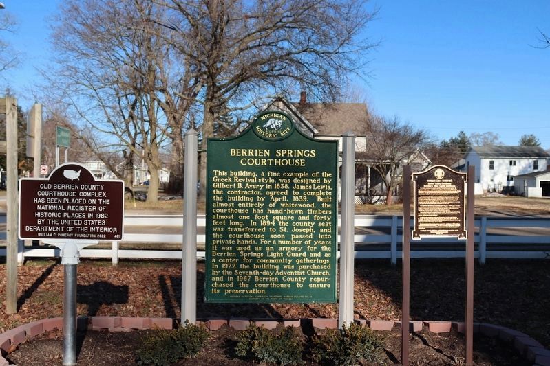
Near North Cass Street (State Highway 139) at West Union Street, on the right when traveling south.
The county courthouse is an iconic symbol of the American legal system. Its importance in Michigan is established in the Michigan Constitution of 1835, which authorized county courts and the laws that followed, requiring counties to provide . . . — — Map (db m69920) HM
On River/Dunes Trail west of State Park Road, on the right when traveling west.
Native Americans The Potawatomi were the last Native Americans to occupy southwest Michigan. The Potawatomi name is a translation of the Ojibwa "Potawatomink" meaning "people of the place of fire." In 1835, the Potawatomi were reported . . . — — Map (db m278814) HM
On Geddes Road 0.1 miles west of Sheldon Road, on the right when traveling west.
Side 1 In 1829 the Territorial Legislative Council of Michigan moved to survey land to create a road from the east side of Michigan Territory to the west. The act stated that the road would start at “Sheldon’s Inn,” a business . . . — — Map (db m173173) HM
Near Territorial Road 0.2 miles east of North Crystal Avenue, on the left when traveling east.
Because of Lake Michigan's moderating effect, a narrow coastal strip from Indiana to Grand Traverse Bay, 300 miles north, is blessed by a climate uniquely suited to fruit growing. This fact was observed by the 1840's when peaches already were being . . . — — Map (db m64812) HM
Near Front Street (State Highway 139) south of Wayne Street, on the left when traveling north.
The St. Joseph River and the Sauk Trail (now U.S. 12) were major transportation routes for Indians, French voyagers, missionaries, military and early settlers through Niles. Nile's first railroad, the Michigan Central Railroad arrived October 1, . . . — — Map (db m68537) HM
On Eastman Avenue south of E. Britain Avenue, on the right when traveling south.
Officially beginning on 14 March, 1930, Mary Purnell’s reorganization of the Israelite House of David began in a very humble fashion on newly acquired properties along Britain and Eastman Avenues. With four agricultural properties, an unfinished and . . . — — Map (db m81805) HM
On Sodus Parkway at South Pipestone Road, on the right when traveling east on Sodus Parkway.
In 1854 Robert Hogue (1846-1905) migrated from Pennsylvania to Pipestone Township with his family. At age seventeen, he began teaching in a local school. He attended Adrian College, later graduating from the University of Michigan before he resumed . . . — — Map (db m64868) HM
On State Park Road, on the right when traveling south.
Since 1976, the Michigan Natural Resources Trust Fund, using revenue from the development of state-owned mineral resources, has helped the people of Michigan acquire and develop more that 46,000 acres of high quality recreational lands or . . . — — Map (db m279893) HM
Built in 1829 by Francis Murdock, the two story log cabin is the oldest home in Berrien County and of the five oldest homes still in existence in the state of Michigan. Murdock, a lawyer, was one of the first to argue a case in the new county . . . — — Map (db m226581) HM
On Pokagon Highway at Wood Road, on the right when traveling west on Pokagon Highway.
(Obverse Side)
Sumnerville Mounds
Between the first and fourth centuries A.D. Hopewell Indians built nine burial mounds near here. The six remaining earthen mounds reflect the Hopewellian culture, which flourished in the Eastern . . . — — Map (db m64742) HM
Thin black lines indicate changes in relevance. Between each pair of lines entries are ordered geographically but all have the same relevance.
* Inflectional forms of words are their plurals, singulars, and possessives as well as gramatical tenses and similar variations.