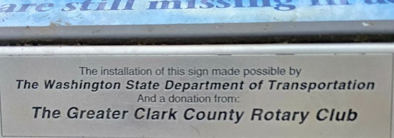
On Interstate 5 1.5 miles north of Washington Highway 502.
The men and women who have
endured hardships as prisoners of war,
who have been killed in action and those
who are still missing in action. — — Map (db m315691) WM
On Columbia Street at W 6th Street, on the right when traveling south on Columbia Street.
After marrying Amos Short in 1829, Esther (Clark) Short set out on the adventure of her life! Originally from Tioga County, Pennsylvania, Esther Short, who was ½ Algonquin Indian, her husband Amos and 10 children traveled west to Linton, Oregon . . . — — Map (db m64239) HM
On C Street Circle, on the right when traveling east.
This rose garden is dedicated
to the memory of
Theodore A. Penland
1849 – 1950
last Commander-in-Chief of
the Grand Army of the Republic
Plaque presented by The Daughters of Union Veterans and the Woman’s Relief Corps, . . . — — Map (db m8401) HM
Hudson’s Bay Company established Fort Vancouver in 1824 within the area of present-day Vancouver, 83 nautical miles from the Pacific Ocean. Forty Wooden buildings were enclosed within a 20-foot high log palisade until the treaty of 1846 set the . . . — — Map (db m8400) HM
On South Vine Street at East Washington Street (U.S. 231), on the right when traveling south on South Vine Street.
Prevos as we knew it started as the Model Store in 1900 as a men’s haberdashery located at 12 E. Washington St., Greencastle, Ind. Owned by Samuel C. Prevo. From his second marriage to Emily Hogue from Clark County Illinois they had three . . . — — Map (db m56410) HM
On East Main Street (Indiana Route 111) at Bank Street, on the right when traveling west on East Main Street.
Second state bank was established in 1834 by General Assembly with ten branch banks; one of the most successful banks at the time in U.S. This Greek Revival Style structure, built 1837, housed New Albany branch, serving Floyd, Harrison, Washington, . . . — — Map (db m180504) HM
This millstone once made newspapers. It is from Washington Territory's first paper mill, the Columbia River Paper Company. Publisher Henry L. Pittock founded the mill in 1884, primarily to supply The Oregonian, his newspaper in nearby . . . — — Map (db m266062) HM
On East Cherry Street, on the left when traveling north.
Organized 1808 from parts of Knox and Clark Counties. Named in honor of William Henry Harrison who owned land within the County and was Territorial Governor and later ninth President of U.S.
Fourth County formed in Indiana Territory. Original . . . — — Map (db m9750) HM
On Bannack Road near State Highway 278, on the left when traveling east.
Sidney Edgerton arrived at Bannack from Ohio in September 1863 to begin his appointment as Chief Justice of the Supreme Court of Idaho Territory. The massive territory encompassed Idaho, all of Montana, and the western half of Wyoming, with the . . . — — Map (db m124263) HM
On Franklin Street at W 12th Street, on the right when traveling south on Franklin Street.
The Clark County Courthouse opened Nov. 29, 1941. Although it was not the county's first courthouse, it has endured longer than the previous three. Local architect Day Walter Hilborn designed the six-story building in the Art Deco/Art Moderne-style . . . — — Map (db m287235) HM
On E. Evergreen Way at Officers Row on E. Evergreen Way.
[Side one of six]: Under the influence of Dr. John McLaughlin, Manager of the Hudson Bay Co., civilization of Washington started at Vancouver, A.D. 1825.
[Side two of six]: The first school in Washington was taught by John Ball, at . . . — — Map (db m8383) HM
On A-2 Clark County Road (Main Street) near Old Highway 22, on the right when traveling east.
( six panels are located beneath the interpretive site shelter:)
A Region Where History Was Made
The scenic routes shown on this map will take you to several historic and scenic landmarks in northeastern Idaho. You will . . . — — Map (db m124526) HM
On Federal Lane 0.2 miles east of Tennessee Route 22, on the right when traveling east.
Cyrus Livingston Dunham left a promising political career to serve his country in the Civil War. He resigned his military commission November 18, 1863, his health broken
A Rural Upbringing
Cyrus Dunham was born and raised on a farm . . . — — Map (db m174108) HM
On West Cobb Street at North Jackson Street (Alabama Route 295) on West Cobb Street.
Far beneath parts of Clarke, Washington, and Mobile
counties sit vast deposits of salt. In some places, natural
springs bring salty water known as brine from this
enormous underground salt dome up to the surface.
For as long as this geological . . . — — Map (db m234677) HM