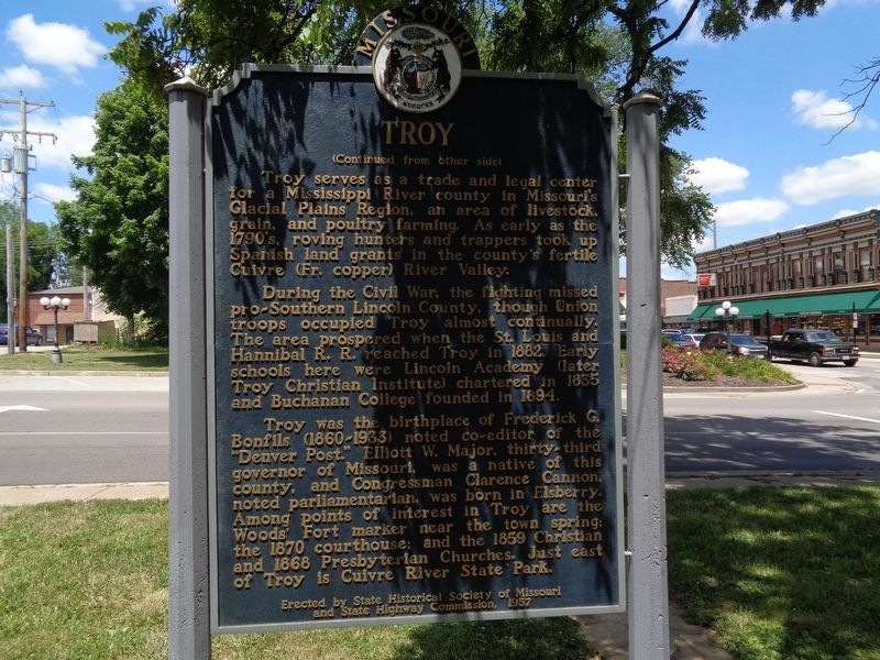
On Boone Street at Main Street, on the right when traveling east on Boone Street.
Troy, laid out on the site of Woods' Fort in 1819, lies on an old Sac and Fox Indian campsite where first settlers Joseph Cottle and Zadock Woods built their cabins, 1801. It was the Sac and Fox tribes, outraged by their 1804 land cession which . . . — — Map (db m138510) HM
On North Main Street at Jackson Street, on the right when traveling north on North Main Street.
John Brooks Henderson was born in Virginia and moved with his family to Lincoln County, Missouri when he was six years old. By age 10, he was an orphan.
Henderson overcame what could have been a life of obscurity to be a Pike County teacher, . . . — — Map (db m141281) HM
On 306th Lane/Broad Street (County Road 2159E) near County Road 2, on the left.
James Washington was born an enslaved person in Lincoln County, Missouri. Before 1890 he brought his family to New Philadelphia to obtain a better education for his four children. He married Mary McWorter and farmed very successfully nearby. His . . . — — Map (db m302415) HM
On William Street north of West Broadway Street, on the right when traveling south.
Prisoners at Alton Military Prison
The Alton Military Prison was inhabited by four different classes of prisoner, Confederates, civilians, Federal soldiers and a group called guerillas or bushwhackers.
Confederate prisoners of war made up . . . — — Map (db m211487) HM
On West Walker Road 0.9 miles west of South Buffalo Bill Avenue, on the left when traveling west.
(side 1) Dedicated June 15, 2002
Cold Springs added station
Jul. 1, 1861 – Nov. 20, 1861
Located 1600’ south by Lincoln County
James Stretesky Nebraskaland Days, Inc.
Nebraskaland National Bank
North Platte/Lincoln . . . — — Map (db m125063) HM
On East Comanche Street at South Peters Avanue, on the right when traveling east on East Comanche Street.
Although the Norman townsite was settled during the Land Run on April 22, 1889, Cleveland County did not exist for another year, and almost wasn't named Cleveland County. In fact, if not for the efforts of Norman's early citizens and civic . . . — — Map (db m121630) HM
On Main Street (U.S. 1) near Knox Street, on the right when traveling west.
1605
Capt. Geo. Waymouth explores and names the St. Georges River
1630
To trade with Indians native to area post built near Wadsworth St. Bridge
1692
St. Georges River is boundary between the French and English territories . . . — — Map (db m55475) HM
Thin black lines indicate changes in relevance. Between each pair of lines entries are ordered geographically but all have the same relevance.
* Inflectional forms of words are their plurals, singulars, and possessives as well as gramatical tenses and similar variations.