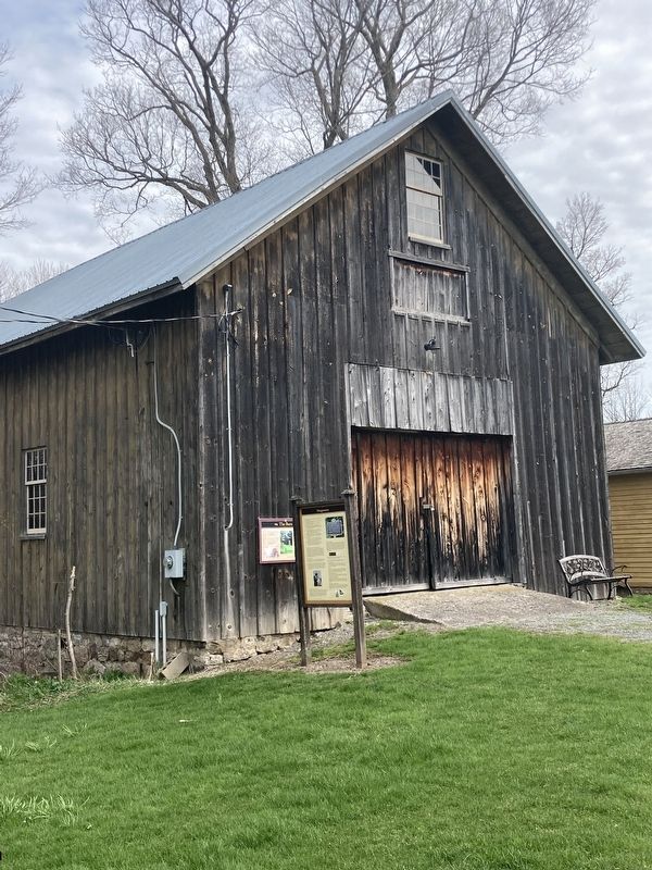
Near Oxbow Road (County Route 25) near Peterboro Road, on the left when traveling south.
1984 Gerrit Smith Land Office placed on the National and State Register of Historic Places.
1994 Gerrit Smith Land Office land placed on the National and State Register of Historic Places.
1994 The Smithfield Community Center . . . — — Map (db m269653) HM
On Sullivan Street just north of Seminary Road, on the left when traveling north.
This site was an apple orchard when, on August 22, 1850, the Fugitive Slave Law Convention was held here.
CAZENOVIA AND SLAVERY
The orchard was owned by Grace Wilson, who had earlier maintained a school on the property, and was a . . . — — Map (db m246824) HM
On Grant Mine Road near Alder Gulch Road, on the left when traveling south.
Two panels make up this marker:
Discovery Park - The Fairweather Party
One spring day in 1863, six men looking for their next big gold strike found it in Alder Gulch, William Fairweather, Henry Edgar, Thomas Cover, Barney . . . — — Map (db m208993) HM
On Kildare Avenue, on the left when traveling north.
John Lowry moved his family from Virginia and purchased land on Meridianville Pike in 1809. He was the contractor for Madison County's first courthouse in 1811. His grandson, John Tate Lowry, a leading merchant with Lowry, Hamilton and Company, . . . — — Map (db m130812) HM
On South Peterboro Street (New York State Route 13) at Terrace Place, on the right when traveling north on South Peterboro Street.
National convention held
at site nearby in Sept. 1852.
Speeches made by abolitionists
Gerrit Smith, Jermain Loguen
and Frederick Douglass. — — Map (db m262119) HM
Near Montford Avenue at Hill Street, on the right when traveling south.
During the war, many large buildings such as schools, warehouses, and churches became temporary prisons in Southern cities. After Asheville's jail on Pack Square overflowed with Confederate draft evaders, deserters, Union prisoners of war, and . . . — — Map (db m59170) HM
On East Main Street at South Liberty Street, on the right when traveling east on East Main Street.
Originally located on the sidewalk near the northeast corner of Courthouse Square, this drinking fountain was made by the J. L. Mott Iron Factory of New York. It was given in 1922 to the citizens of Madison County by the Surgical Dressings Workers . . . — — Map (db m168779) HM
On West Main Street (U.S. 40), on the right when traveling west.
In 1831, Congress passed a bill appropriating money for the extension of the Cumberland Road through Ohio, Indiana and Illinois. In 1836-37 this great National Road was completed through Madison County.
At the beginning of the 19th Century, hardly . . . — — Map (db m96977) HM
On Menomonie Street west of Fifth Avenue, on the left when traveling west.
I am prepared to sell business and residence Lots, Farming or Pine Lands, which I offer upon the most reasonable terms, or receive in exchange labor, oxen, horses, lumber, logs, or personal property of whatever name or nature. Call and see . . . — — Map (db m74866) HM
On McKee Road (U.S. 421) 0.6 miles north of State Highway 594, on the left when traveling north.
Shortly after Daniel Boone and his party chopped out a trail to the Kentucky River in 1775, members of the Starns family came to Boonsborough from Southwest Virginia, made land entries and helped build the fort. Frederick Starn, Sr. had . . . — — Map (db m30628) HM
On Main Street (New York State Route 80) at School Street, on the right when traveling east on Main Street.
In 1807, the Skaneateles Turnpike Corporation was authorized to construct the Skaneateles Turnpike which was an East-West road beginning just east of the Village of Skaneateles and ran across southern Onondaga and Madison counties to Richfield . . . — — Map (db m253081) HM
Near Battlefield Memorial Highway (U.S. 421) at Berea Road (U.S. 25), on the right when traveling north.
Son of an Influential Kentucky Family
The Nelson family counted among its friends some of the most important families in Kentucky. William Nelson, born in 1824, near Maysville, Kentucky, grew up in an atmosphere of influence and wealth. . . . — — Map (db m86288) HM
On West Peace Street (Mississippi Route 22) at North Liberty Street, on the right when traveling west on West Peace Street.
Flonzie Brown Wright became involved in the
civil rights movement after moving back to
Madison County in 1962. Focusing on voting rights.
she served as director for the local chapter of
the NAACP. In 1968, she ran for county . . . — — Map (db m312337) HM
Near Cooper's Cave Drive north of River Street, on the right when traveling north.
”The Mohicans were the possessors of the country first occupied by the Europeans in this portion of the continent. They were, consequently, the first dispossessed; and the seemingly inevitable fate of all these people…is represented as . . . — — Map (db m148603) HM
On Williams Street just south of Lee Street, on the right when traveling south.
Appointed by Sheriff Seth Bullock Deadwood’s 1st Sheriff, US Marshal Captain A Troop Grisby’s Cowboy Regiment Spanish American War Built 1882 — — Map (db m305898) HM
On Adams Street Southeast south of Locust Ave SE, on the right when traveling north.
A pioneer in the campaign for women's rights and equal opportunity,
Alice Boarman Baldridge was born in New Orleans in 1874. While enrolled
at Sophie Newcomb College she met Felix E. Baldridge, a medical student
at nearby Tulane. The couple . . . — — Map (db m280411) HM
On Old Canton Road at Rice Road, on the left when traveling north on Old Canton Road.
Although Ridgeland was founded well after the Civil War, several actions occurred
in Madison County during the war. In May 1863, Confederate General Joseph E.
Johnston retreated to this area following the battle of Jackson. For the next . . . — — Map (db m259512) HM
Near Oxbow Road at Peterboro Road, on the left when traveling south.
”There are yet two places where slaveholder cannot come, Heaven and Peterboro,” -concluded black antislavery radical Henry Highland Garnet in a letter to Frederick Douglass which Douglass printed on the front page of The North . . . — — Map (db m271449) HM
On Bleecker Street at Charlotte Street, on the right when traveling east on Bleecker Street.
[Main body] The Convention to establish the New York State Anti-Slavery Society met in Utica because of Oneida County's fiery Abolitionist leadership, the influence of the religious revival movement, the city's unique location, and the . . . — — Map (db m262060) HM
Near Colvin Road 0.4 miles Rixeyville Road (Virginia Route 229), on the right when traveling west.
Early German Settlers
In 1714, the Governor of the Virginia Colony, Alexander Spotswood, seized an opportunity to establish a mining operation for iron ore and gold on the Western frontier along the Rapidan River. In his quest for skilled . . . — — Map (db m291576) HM
On West 18th Street at Baynard Boulevard on West 18th Street.
African American Medal of Honor Recipients Memorial
The Medal of Honor takes its place in our country as the highest award for military valor. The honor, awarded by the President in the name of Congress, may only be accorded an . . . — — Map (db m173924) HM WM
On 7th Street Southwest at Maine Avenue Southwest, in the median on 7th Street Southwest. Reported missing.
Before the Civil War, Washington was a slave-holding city. But many of its citizens–especially free blacks and abolitionists–assisted freedom seekers at locations known as stops on the Underground Railroad.
The largest . . . — — Map (db m112455) HM