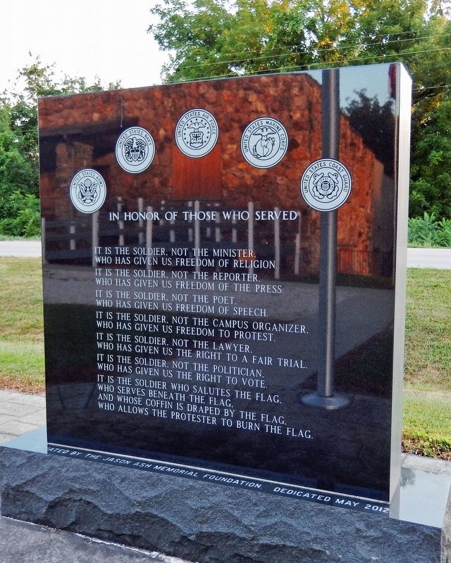
On State Highway 52 0.2 miles north of Myrtle Drive, on the right when traveling north.
Dedicated to the Men and Women who honorably serve in the Armed Forces of the United States, past, present and future during War and Peace. Miller County It is the soldier, not the minister, who has given us freedom of religion. It is . . . — — Map (db m217099) WM
On State Highway 52 0.4 miles west of Catfish Road, on the left when traveling west.
[side 1] Here in Missouri's central Ozarks, Miller County was organized 1837, and named for Mo. Gov. John Miller. In territory ceded by Osage (French pronunciation for Wazhazhe Indians) 1808, the county was first settled 1807, . . . — — Map (db m179728) HM
On East Main (County Road 9) just west of Snell Street, on the right when traveling west.
1541 - When Desoto brought his Spanish conquistadores to this area in 1541, he found an industrious Caddo Indian tribe who inhabited and enjoyed the area that was later to become Miller County, Arkansas. Along the Red River the Caddo farmed, . . . — — Map (db m173500) HM
On East Newton Street at South Monroe Street (Missouri Highway W), on the right when traveling east on East Newton Street.
Morgan County, in Missouri's Lake of the Ozarks Region, was organized in 1833 and named for Revolutionary War Gen. Daniel Morgan. The lake, impounded by Bagnell Dam built on the Osage River in adjacent Miller County 1929-1931, extends into Morgan . . . — — Map (db m140835) HM
Thin black lines indicate changes in relevance. Between each pair of lines entries are ordered geographically but all have the same relevance.
* Inflectional forms of words are their plurals, singulars, and possessives as well as gramatical tenses and similar variations.