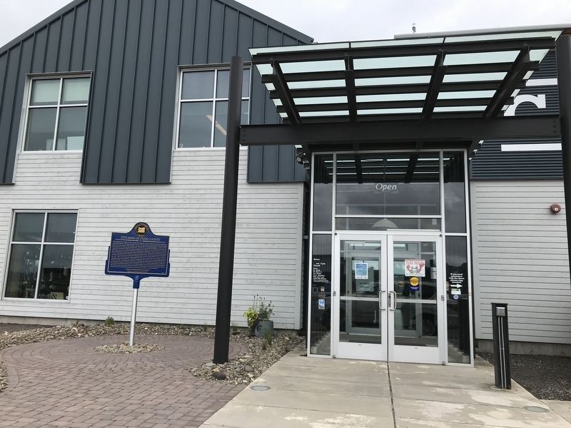
Near North Front Street, on the right when traveling north.
Lynching in America
Thousands of African Americans were the victims of racial terror lynchings in the United States between 1865 and 1950. Following the end of the Civil War, a wave of counterrevolutionary terror and violence swept over . . . — — Map (db m176959) HM
On South Empire Boulevard south of Wisconsin Avenue, on the right when traveling north.
On the beach west of here the U.S. Transport Captain Lincoln was beached at high tide during a storm. The soldiers and crew built a camp from the sails under the trees across the bay from this spot and made a flag pole from a mast from which Old . . . — — Map (db m241038) HM
On Parkersburg Road, on the right when traveling south.
In the year 1874 on this and adjoining
property Captain Judah Parker and
partners built and operated the first
steam sawmill and steam tug on the
Coquille River. A year later Captain
Parker, with the assistance of the
settlers and farmers . . . — — Map (db m73228) HM
On Bridge Street (U.S. 2) at Main Street (U.S. 3), on the right when traveling west on Bridge Street.
This Structure, erected by Major Jonas Wilder, from boards planed and nails wrought on the site, originally possessing a four-fireplace chimney and Indian shutters, is Coos County's first two-storey dwelling. Construction was initiated on the noted . . . — — Map (db m77609) HM
On Oregon Coast Highway (U.S. 101) north of Hall Avenue, on the right when traveling north.
The Coos Bay Lumber Co. purchased this 73-ton, 2-8-2 Mikado-type steam locomotive in 1922 from Baldwin Locomotive Works in Philadelphia, Penn.
Engine No. 104 pulled log trains – sometimes as many as 100 cars – from the Powers and . . . — — Map (db m113669) HM
Near Cape Arago Highway 5 miles west of Seven Devils Road.
The Devon privateer took his flotilla from Plymouth Harbor August 5, 1577 bound for the River Plate.
He raided Spanish shipping and treasure houses around South America, including Valparaiso, Peru and Acapulco roads.
June 5, 1579 the renamed 78 . . . — — Map (db m114250) HM
On Oregon Coast Highway (U.S. 101) north of Central Avenue, on the right when traveling north.
Working On Water
Koos No. 2 was the second of several tugboats with the Koos name to work for the Knutson Towboat Company.
Built in 1924 by Frank Lowe at his Marshfield shipyard, Koos No. 2 went to work with her . . . — — Map (db m114186) HM
On Oregon Coast Highway (U.S. 101) north of Anderson Avenue, on the right when traveling north.
Fire
On July 23, 1922 a fire destroyed more than twenty-five buildings on Front Street, including city hall.
Many of the businesses rebuilt a few blocks to the west, moving the heart of downtown Marshfield.
The fire was . . . — — Map (db m114151) HM
Near Main Street (Route 2) north of Mechanic Street, on the left when traveling north.
Top Left Panel:These waters abounded in fish, as did the forests in game
As the English were pushing their settlements up the valleys of the Connecticut and the Merrimack, trappers penetrated the wilderness far above the . . . — — Map (db m158923) HM
Early industries in the Florence area were built on the natural resources that the Siuslaw River Valley had to offer. The rivers were filled with swarming salmon and the forests held acres of old growth timber. Those abundant natural resources . . . — — Map (db m93894) HM
Thin black lines indicate changes in relevance. Between each pair of lines entries are ordered geographically but all have the same relevance.
* Inflectional forms of words are their plurals, singulars, and possessives as well as gramatical tenses and similar variations.