Near Silver Street at 2nd Street (County Road 20), on the right when traveling north.
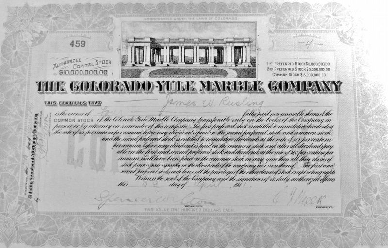
Colorado Stone Quarries, a subsidiary of the international Italian stone quarry corporation R.E.D. Graniti, extracted and donated this 2,300-lb. marble slab from the company's Colorado Yule Marble Quarry in Gunnison County. The slab is displayed at . . . — — Map (db m292298) HM
[Clockwise from top right]
Glenwood Canyon. In 1993 the Colorado Department of Transportation completed the final link of Interstate 70 through this remarkable canyon.
Glenwood's Natural Hot Springs have soothed and healed human ailments . . . — — Map (db m158790) HM
On State Highway 92 0.2 miles Blue Mesa Drive (County Highway 721), on the right when traveling east.
The Colorado River Storage Project on the Upper Colorado River is the most complex and extensive river water development in the world. It includes drainage in Wyoming, Utah, Colorado, Arizona, and New Mexico-about 1/12 the continental area of the . . . — — Map (db m187003) HM
On Taylor Canyon Road (County Road 742) 21.5 miles east of State Highway 135, on the left when traveling east.
You are standing at an elevation of 9500 feet above sea level and facing toward the north. The Sawatch Mountain Range and the Continental Divide lie on the horizon. Most of the high mountainous country above timberline lies within the Collegiate . . . — — Map (db m283400) HM
On Silver Street at 3rd Street, on the left when traveling north on Silver Street.
Donated to the Town of Lake City by Stephanie Pierson in July, 2006 This flag pole was brought to the Lake City area by the John O. Robertson Family who initially erected it on their property in the Vickers Ranch Estates Subdivision. Perk Vickers . . . — — Map (db m292098) HM
On North Main Street at E Virginia Avenue, on the right when traveling north on North Main Street.
The beautiful quarried stone used in this Water Company building, constructed during Gunnison's boom days in 1882. Located at the west end of Virginia Avenue, the company supplied water from the nearby Gunnison River and manufactured gas for . . . — — Map (db m301724) HM
Near Canal Street east of East Abriendo Avenue, on the left when traveling east.
As industrialization and urbanization grew, so did the concern
for children's welfare. It was believed that neighborhood
playgrounds would keep children off dangerous streets and
help them develop physical health, good habits, and social . . . — — Map (db m281639) HM
Thin black lines indicate changes in relevance. Between each pair of lines entries are ordered geographically but all have the same relevance.
* Inflectional forms of words are their plurals, singulars, and possessives as well as gramatical tenses and similar variations.