9 entries match your criteria.
Related Historical Markers
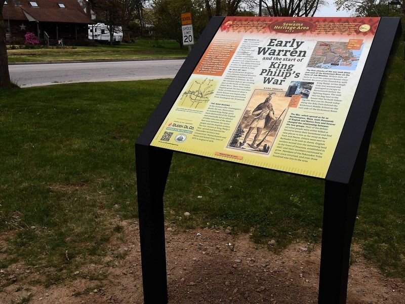
By David Weed, May 6, 2022
Early Warren and the start of King Philip's War Marker
SHOWN IN SOURCE-SPECIFIED ORDER
1 ► Rhode Island, Bristol County, Warren — Early Warren and the start of King Philip's War —  |
| On Child Street (Rhode Island Route 103) at Hugh Cole Road, on the right when traveling east on Child Street. | |||
| 2 ► Rhode Island, Bristol County, Warren — Burr's Hill — Royal Pokanoket Burial Site — Sowams Heritage Area — |
| On Water Street south of Haile Street, on the left when traveling south. | |||
| 3 ► Rhode Island, Bristol County, Bristol — Mount Hope — Sacred Land of the Pokanokets — A Sowams Heritage Area Site — |
| Near Metacom Avenue (Rhode Island Route 136) 0.1 miles south of Mount Hope Avenue, on the right when traveling north. | |||
| 4 ► Rhode Island, Bristol County, Barrington — Osamequin — Great Leader of the Pokanokets — |
| On Wampanoag Trail (Rhode Island Route 114) at Kyle Circle, on the right when traveling north on Wampanoag Trail. | |||
| 5 ► Rhode Island, Bristol County, Barrington — Welcome to Sowams Woods — Barring Land Conservation Trust — Established 1979 — |
| Near South Lake Drive at Washington Road, on the right when traveling east. | |||
| 6 ► Massachusetts, Bristol County, Swansea — King's Rock — Native American Ceremonial Site — Sachem's Knoll — |
| On Market Street (Massachusetts Route 136) south of Stoney Hill Road, on the right when traveling south. | |||
| 7 ► Massachusetts, Plymouth County, Plymouth — Massasoit — |
| On Water Street at North Street, on the left when traveling north on Water Street. | |||
| 8 ► Rhode Island, Providence County, Providence, Downtown Providence — Aquene. Eniskeetompowaug. — Peace be with you. All Tribes are Welcome. — Roger Williams National Memorial |
| On Canal Street (U.S. 44) at Park Row West, on the right when traveling south on Canal Street. Reported damaged. | |||
| 9 ► Massachusetts, Bristol County, Dighton — Dighton Council Oak — Meeting Place of the Wampanoag Indians — |
| Near 1996 Elm Street. | |||