12 entries match your criteria.
Great Lakes Seaway Trail - French and Indian War Historical Markers
This project was funded in part by the Federal Highway Administration and administered by the New York State Scenic Byways Program of the New York State Department of Transportation and Seaway Trail, Inc.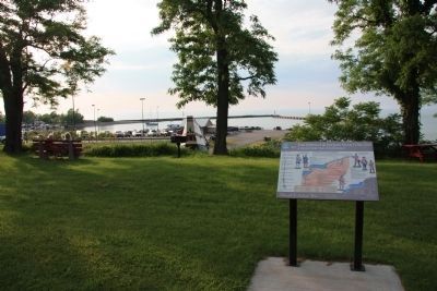
By Dale K. Benington, June 9, 2012
The French & Indian War 1756-1763 Marker
1 ► New York, Chautauqua County, Westfield — 1 — The French & Indian War 1756-1763 — A Fight for the Continent — French and Indian War —  |
| 2 ► New York, Monroe County, Greece — 12 — Converge on Montreal — The British Plan — French & Indian War — |
| 3 ► New York, Monroe County, Irondequoit, East Irondequoit — 13 — British Army Encampment — Prideaux's Campaign — French & Indian War — |
| 4 ► New York, Niagara County, Lewiston — 7 — Fighting for Homeland — American Indian Allies — New York State French & Indian War Commemoration - 250 Years — |
| 5 ► New York, Niagara County, Niagara Falls — 5 — Fort Schlosser — Guarding the Upper Landing — French and Indian War — |
| 6 ► New York, Niagara County, Niagara Falls — 6 — The Great Cataract of Niagara — An attraction even in wartime — French and Indian War — |
| 7 ► New York, Orleans County, Carlton — 11 — Sir William Johnson — Leader and Diplomat — The French and Indian War — |
| 8 ► New York, Oswego County, Central Square — 21 — Strategic Crossroads — Key Water and Overland Routes Intersect — French and Indian War — |
| 9 ► New York, Oswego County, Oswego — 16 — Oswego West Side Forts — An Early French Target — French and Indian War — |
| 10 ► New York, Oswego County, Oswego — 15 — Prideaux's Campaign — A Long Route to Victory — French and Indian War — |
| 11 ► New York, St. Lawrence County, Ogdensburg — 19 — Fort Lévis - 1760 — France's Last Stand — French & Indian War — |
| 12 ► New York, Wayne County, Sodus Point — 14 — A French Inspired Flotilla — Travel Through Wilderness — French & Indian War — |