8 entries match your criteria.
Related Historical Markers
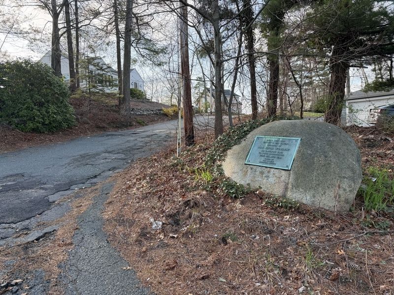
By G.W.Bartlett, April 23, 2026
Wamsutta’s Capture Site Marker (wide)
SHOWN IN SOURCE-SPECIFIED ORDER
| On Monponsett Street (Massachusetts Route 58) at White Island Road, on the left when traveling south on Monponsett Street. |
| On Old Providence Road at Barneyville Road, on the left when traveling east on Old Providence Road. |
| Near Metacom Avenue (Rhode Island Route 136) 0.1 miles south of Mount Hope Avenue, on the right when traveling north. |
| On Wampanoag Trail (Rhode Island Route 114) at Kyle Circle, on the right when traveling north on Wampanoag Trail. |
| On Child Street (Rhode Island Route 103) at Hugh Cole Road, on the right when traveling east on Child Street. |
| Near South Lake Drive at Washington Road, on the right when traveling east. |
| On Canal Street (U.S. 44) at Park Row West, on the right when traveling south on Canal Street. Reported damaged. |
Nov. 11, 2026
