6 entries match your criteria.
Related Historical Markers
The Quarter Place at Patrick Henry's Red Hill Plantation
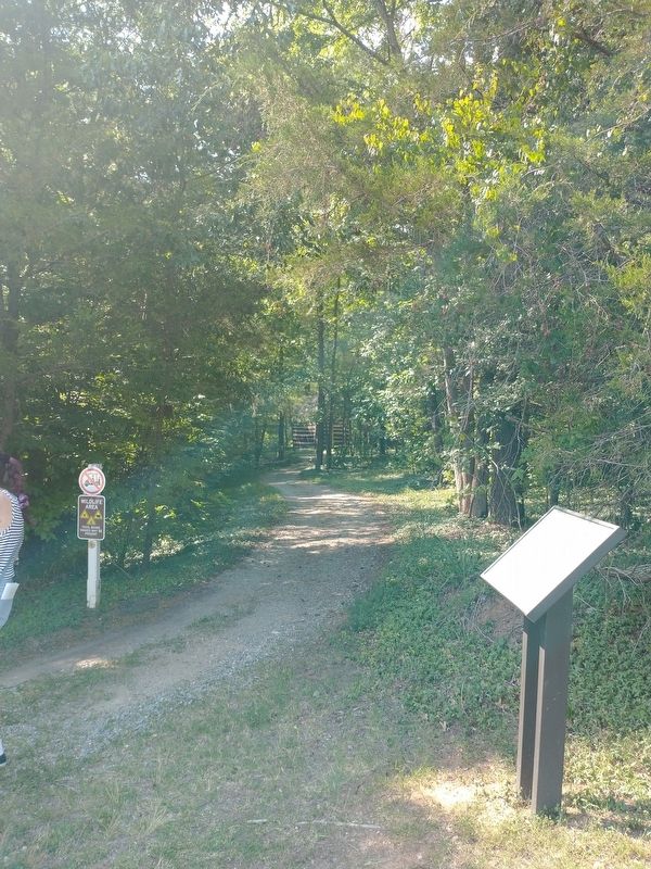
By Tom Bosse, July 4, 2026
Quarter Place Entrance Marker
SHOWN IN SOURCE-SPECIFIED ORDER
| Near Red Hill Road (County Route 677) 1.2 miles south of Patrick Henry Road, on the right when traveling south. |
| Near Red Hill Road (County Route 677), on the right when traveling south. |
| Near Red Hill Road (County Route 677) 1.2 miles south of Patrick Henry Road, on the right when traveling south. |
| Near Barrett Station Road 0.1 miles north of Trossock Lane, on the right when traveling south. |
| Near Red Hill Road (County Route 677) 1.2 miles south of Patrick Henry Road, on the right when traveling south. |
| Near Red Hill Road (County Route 677) 1.2 miles south of Patrick Henry Road (County Route 619), on the right when traveling south. |
Nov. 11, 2026
