20 entries match your criteria.
Henness Pass Historical Markers Henness Pass Road was the primary emigrant trail from Virginia City, Nevada as early as 1849 and the only mountain pass that existed at the time. During the Gold Rush, this often forgotten highway served as a supply road for the Comstock silver mines in Nevada. In 1852, Henness Pass Road was a wagon toll road from Nevada to the gold field of California. Between 1860 and 1868, traffic was so heavy at times during its heyday that freight wagons traveled by day and stagecoaches drove at night. The road continued to be used until the the completion of the transcontinental railway in 1868.
By Cory Waters, March 4, 2026
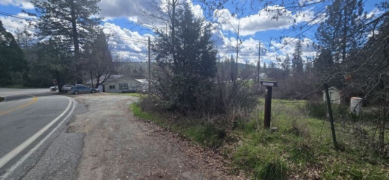
Henness Pass Road - Oak Tree Ranch Marker
GEOGRAPHIC SORT Title Sort Marker Number Sort Marker Number Sort for Trails Publication Order Sort Publication Order Sort A Erected Year Sort Most Viewed Sort Most Recent-Interest Sort Most Recently Changed Sort SEE FAQ #33 FOR DESCRIPTIONS
On Oak Tree Road at Tyler Foot Road, on the right when traveling south on Oak Tree Road.
On Pleasant Valley Road, on the right.
On Mooney Flat Road, on the right when traveling north.
On Henness Pass Road (County Route S301), on the right when traveling west.
On Ridge Road at Mountain House Road, on the left when traveling east on Ridge Road.
On Ridge Road 0.5 miles east of Tippe Canoe Mine Road, on the right when traveling east.
On Ridge Road at Mountain House Road, on the left when traveling east on Ridge Road.
On Ridge Road, on the right when traveling east.
On Main Street at Nevada Street, on the right when traveling east on Main Street.
On Mountain House Road at Henness Pass Road, on the right when traveling north on Mountain House Road.
Near Webber Lake Road near Dog Valley Road.
Near Henness Pass Road (County Route S450) 1 mile east of California Highway 89 when traveling north.
On Marysville Road 0.1 miles California Route 20, on the left when traveling north.
On Moonshine Road 0.4 miles south of Golden Chain Highway (California Route 49), on the right when traveling south.
On Old Toll Road at Marysville Road, on the right when traveling east on Old Toll Road.
Paid Advertisement
On Alleghany Ridge Road at Highway 49, on the right when traveling north on Alleghany Ridge Road.
On South Virginia Street at East Peckham Lane, on the right when traveling north on South Virginia Street.
On Henness Pass Road, on the left when traveling west.
On Bridge Street, on the left when traveling north.
On 3rd Street at Crystal Peak Park Road, on the left when traveling west on 3rd Street.
︽
Nov. 13, 2026