12 entries match your criteria.
Great Lakes Seaway Trail - French and Indian War Historical Markers This project was funded in part by the Federal Highway Administration and administered by the New York State Scenic Byways Program of the New York State Department of Transportation and Seaway Trail, Inc.
By Dale K. Benington, June 9, 2012
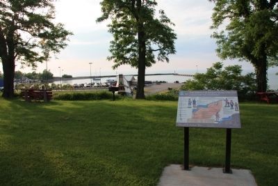
The French & Indian War 1756-1763 Marker
GEOGRAPHIC SORT Title Sort Marker Number Sort Marker Number Sort for Trails Publication Order Sort Publication Order Sort A Erected Year Sort Most Viewed Sort Most Recent-Interest Sort Most Recently Changed Sort SEE FAQ #33 FOR DESCRIPTIONS
On East Lake Road (New York State Route 5) east of North Portage Road ( Route 394), on the left when traveling east.
On Braddock Bay State Parkway 0.2 miles north of East Manitou Road (County Route 140), on the right when traveling east.
On Culver Road (County Route 120) 0.2 miles east of Sea Breeze drive, on the left when traveling east.
Near Lewiston Road (New York State Route 104) 0.2 miles north of Hyde Park Boulevard ( Route 61).
Near Niagara Scenic Parkway (New York State Route 957A) 1 mile west of Interstate 190, on the left when traveling north.
Near Niagara Scenic Parkway (New York State Route 957A) 1 mile north of Interstate 190.
Near Lake Road (New York State Route 18) 0.2 miles north of Lake Ontario Parkway.
On U.S. 11 near County Route 37.
On Lake Street at Montcalm Street, on the left when traveling east on Lake Street.
On East 4th Street north of Show Park Road, on the left when traveling north.
On the Downtown Arterial (New York State Route 68) west of Commerce Street, on the right when traveling west.
On New York State Route 14, on the left when traveling east.
︽
Nov. 13, 2026