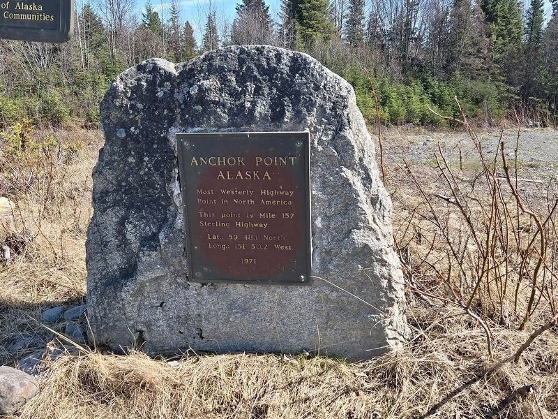
Most Westerly Highway
Point in North America.
This point is Mile 157
Sterling Highway.
Lat.: 59° 48.1' North.
Long.: 151° 50.2' West.
1971 — — Map (db m299225) HM
Prospectors found gold in 1895 under the present Canyon Creek Highway Bridge and on Mills Creek. Those discoveries launched a rush to Turnagain Arm more than a year before the Klondike Gold Rush.
Prospectors Poke Around
After gold was . . . — — Map (db m49599) HM
Built during early
years of Russian settlement as a warehouse
for storage of furs and for offices
of Chief Manager of Russia-American company. This is the oldest Russian structure remaining in Alaska.
State of Alaska
Governor . . . — — Map (db m288217) HM
Russian-American Company Magazin has Been Designated a
National Historic Landmark
The Russian-American Company Magazin dates from 1805-1808, when Kodiak was the trading capital of Russian America. The Russian-American Company built
the . . . — — Map (db m302811) HM