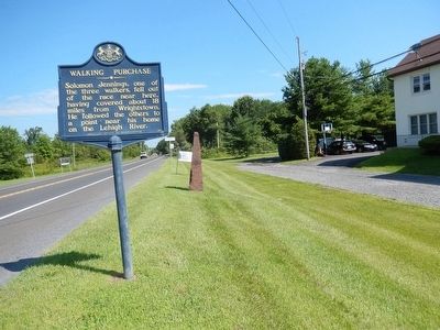
Measured 1737, according to a supposed Indian deed of 1686, granting lands extending a day-and-a-half walk. Using picked men to force this measure to its limit, Thomas Penn reversed his father's Indian policy losing Indian friendship. — — Map (db m86295) HM
Measured 1737, according to a supposed Indian deed of 1686, granting lands extending a day-and-a-half walk. Using picked men to force this measure to its limit, Thomas Penn reversed his father's Indian policy losing Indian friendship. — — Map (db m86294) HM
This site, Towissinck or Jericho Creek, was the northern boundary of Penn’s 1st purchase of Native American land on July 15, 1682. The land purchase was measured by the distance a man could walk in a day and a half, starting from the mouth of the . . . — — Map (db m13398) HM
Starting here at sunrise, Sept. 19, 1737, Marshall, Yeates, and Jennings set out on the "Indian Walk." In one and a half days, Edward Marshall reached a point beyond present Mauch Chunk, some 65 miles to the north and west. — — Map (db m202782) HM
Measured 1737, according to a supposed Indian deed of 1686, granting lands extending a day-and-a-half walk. Using picked men to force this measure to its limit, Thomas Penn reversed his father's Indian policy, losing Indian friendship. — — Map (db m86257) HM
The famous Indian Walk of a day and a half from Wrightstown, Bucks County, to near the present Mauch Chunk was performed for the Penn Proprietors of Pennsylvania September 19-20, 1737 by Edward Marshall and his associates who slept at the end of the . . . — — Map (db m188225) HM
Measurer of the notorious Walking Purchase, 1737, lived in this area, 1755-1759. In the many Indian raids of this time, his wife and his oldest son were killed, 1757, supposedly in revenge. Later he returned to Bucks County. — — Map (db m37945) HM