6 entries match your criteria.
Related Historical Markers
Hunting Island Lighthouse
By Cosmos Mariner, May 1, 2019
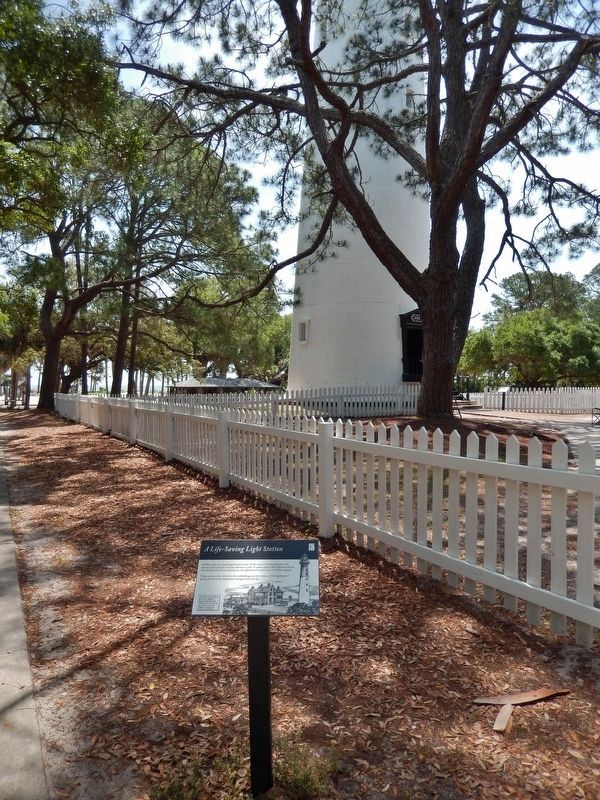
A Life-Saving Light Station Marker
(tall view • lighthouse in background)
SHOWN IN SOURCE-SPECIFIED ORDER
| | Sandbars may not seem dangerous, but those off the coast of Hunting Island could destroy a ship and put everyone onboard in peril. To guard against that, lightkeepers and their families lived here, making sure this lighthouse warned sailors of . . . — — Map (db m135365) HM |
| | Just as this tower is a silent witness to your visit here today, it has watched over Hunting Island since 1875. It is the second lighthouse on the island—the first was destroyed during the Civil War—and this is its second location. . . . — — Map (db m135384) HM |
| | Before electricity, batteries or solar panels, lamplight was generated by oil. And a light bright enough to be seen from seventeen miles away needed a lot of oil! The oil that powered the Hunting Island Lighthouse was stored here.
Constructed . . . — — Map (db m135387) HM |
| | With no bridges to Hunting Island, all supplies—whether oil for the lighthouse's lamp or books for the lightkeeper's family—had to come by boat from the mainland. In 1889, a wharf was built at Johnson Creek and 3,000 feet of-wooden . . . — — Map (db m135389) HM |
| | Digging a well doesn't work on barrier islands. The shaft can only reach brackish water that's unfit to drink. In fact, there's no reliable natural source of drinkable water on Hunting Island.
To compensate, the lighthouse staff members and their . . . — — Map (db m135390) HM |
| | Children once played in the yard while their parents chopped firewood or hung laundry out to dry. Together, they tended a vegetable garden and gathered eggs from a chicken coop. With its outbuildings and a surrounding picket fence, this was once the . . . — — Map (db m135391) HM |
Jun. 6, 2024