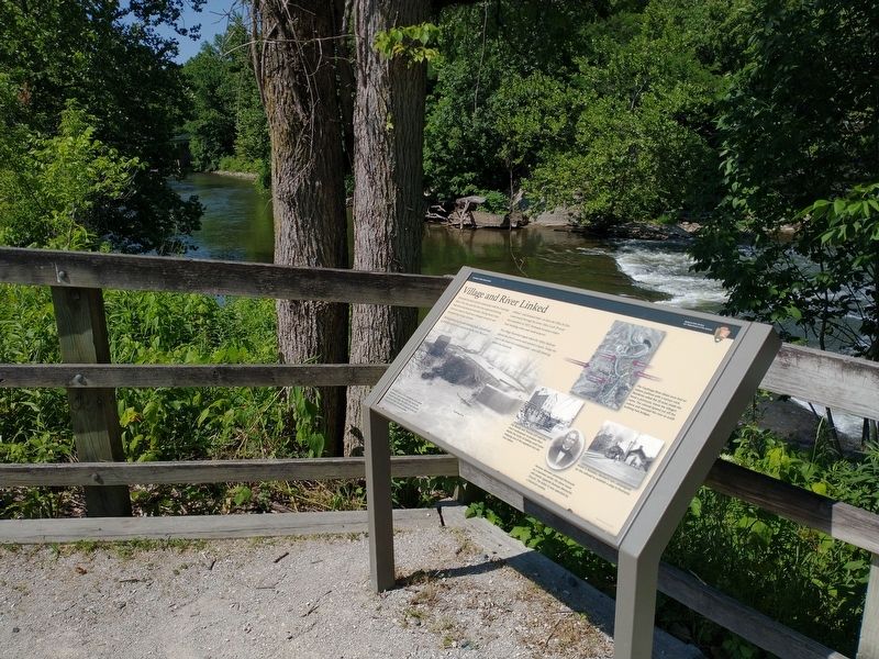
Peninsula has had a stormy relationship with the Cuyahoga River. Over the years the river has supported thriving industries and attracted travelers. During heavy rains, however, massive floods have damaged property and disrupted day-to-day . . . — — Map (db m202434) HM
Lock 29 is one of many historical features of the Ohio & Erie canal, which linked Lake Erie with the Ohio River. The far end of Lock 29 was connected with an aqueduct that carried boats over the Cuyahoga River. The lock- aqueduct combination was a . . . — — Map (db m202437) HM
This model shows a boat that has entered Lock 29 from the north. It is heading south – upstream – towards Akron. Most locks were 90 feet long from gate to gate. Walls were 15 feet apart. Boats were up to 75 feet long and up to 14 feet side, so . . . — — Map (db m202438) HM
The State of Ohio mobilized a work force – as many as 2,000 a day – to build the Ohio & Erie Canal. The project became an extension of the Erie Canal. Ohio borrowed money from New York investors. Engineers surveyed the route and adapted Erie . . . — — Map (db m202439) HM