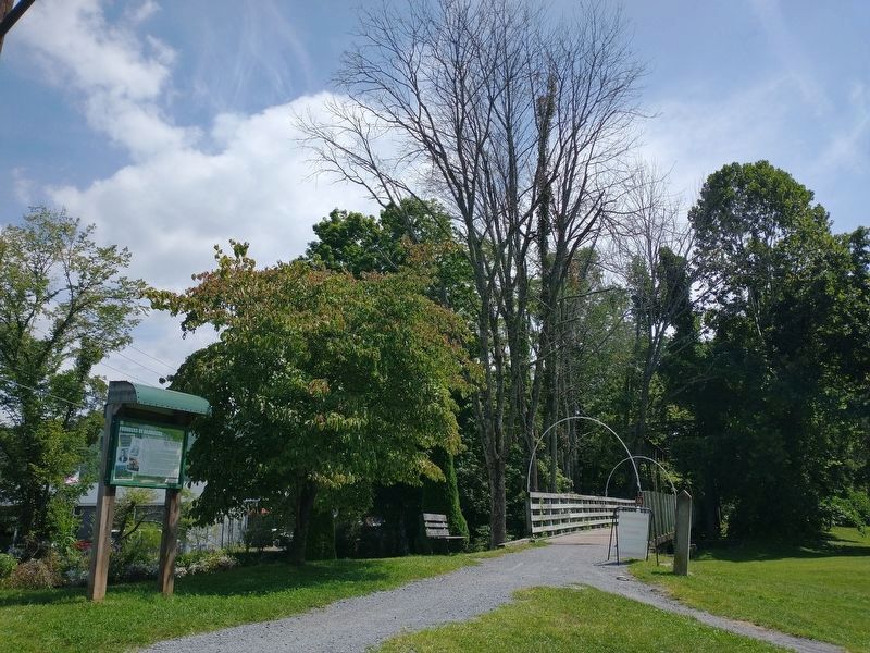
5 entries match your criteria.
Related Historical Markers
The Damascus History Tour

By Tom Bosse, September 3, 2022
Founders of Damascus Marker
SHOWN IN SOURCE-SPECIFIED ORDER
| | The first settlers in this area were the Cherokee, an Iroquois-speaking tribe with widespread settlements along the river valleys of what is now Southwest Virginia and East Tennessee. A hunting camp was located adjacent to Laurel Creek north of . . . — — Map (db m209500) HM |
| | In front of you are the remains of one of the six water tanks which existed along the old Abingdon Branch of the Norfolk and Western line, or Virginia Creeper as it was locally known. The locations were Abingdon, Damascus, and Creek junction in . . . — — Map (db m209499) HM |
| | In front of you and across the water lies Legion Island, surrounded on both sides by Laurel Creek. Between the late 1920s and the late 1960s Legion Island was a focal point of Damascus summer recreation and social activities. The large (40 feet by . . . — — Map (db m209498) HM |
| | The first place of worship in Damascus was Wright's Chapel (Methodist) built around 1830 at Mock's Cemetery on Red Hill. The church burned down and was rebuilt outside of town. Damascus at that time was called Mock's Mill after a grist mill built . . . — — Map (db m209495) HM |
| | In the Spring of 1821 Henry A. Mock moved from North Carolina and bought 91 acres of land from early settler John Larimer for $405. Immediately he set about building an earthen dam across Laurel Creek for a grist mill. Although the area had been . . . — — Map (db m209490) HM |
May. 24, 2024
