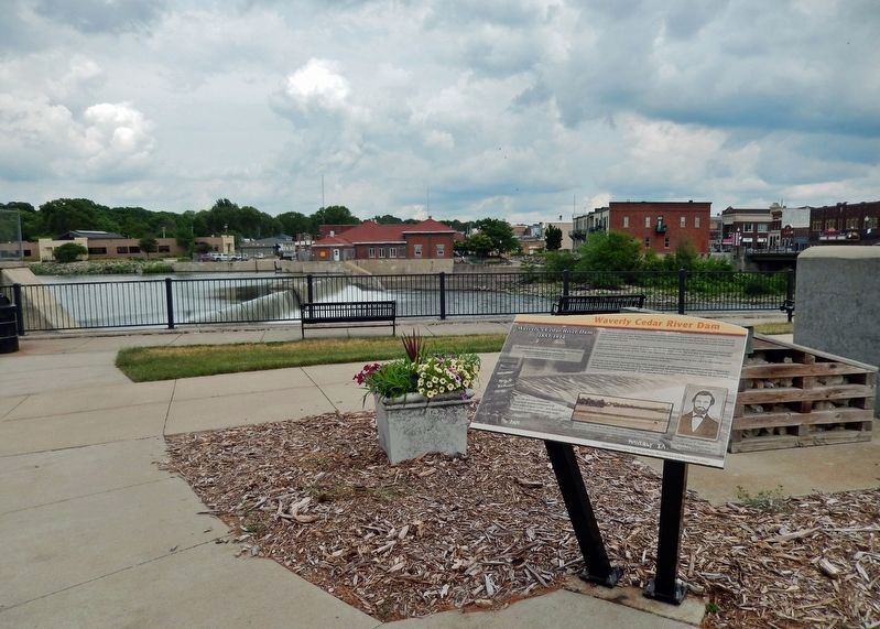
On 1st Street Northwest just north of East Bremer Avenue (Iowa Route 3), on the right when traveling north.
“A dam was thrown across the river, logs, stone and other material being used in its construction...” Account of Harmon building the first dam in 1853, (History of Butler and Bremer Counties, Iowa) The Cedar River was recognized . . . — — Map (db m238174) HM
On 1st Street Northwest just north of East Bremer Avenue (State Route 3), on the right when traveling north.
In 1905 there were again major repairs made to the dam, as well as improvements to the hydro-electric plant including installation of a coal-fired steam plant, which offered increased capacity for producing electricity. In 1908 an explosion and . . . — — Map (db m238179) HM
On 1st Street Northwest just north of East Bremer Avenue (State Route 3), on the right when traveling north.
Throughout Waverly's history the Cedar River has provided a beautiful backdrop for the city, and has been a beloved recreational spot to fish, swim and boat. Long-time Waverly residents have also grown accustomed to flooding. Nearly every decade . . . — — Map (db m238183) HM
On 1st Street Northwest just north of East Bremer Avenue (State Route 3), on the right when traveling north.
For over 150 years, the Waverly Dam has been integral to the city. Over the years the value of the Cedar River to industrial and economic development has led to extended development on the adjacent floodplain. The risk of flooding in Waverly . . . — — Map (db m238187) HM