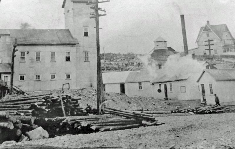
On Miller Avenue (Provincial Highway 11B) at Galena Street, on the right when traveling west on Miller Avenue.
[English]"As you enter the town great smoke stacks belching forth voluminous black clouds meet the eye, and the throbbing of engines, the heartbeats of Cobalt industry, come to the ear." —Silver City News The Townsite #1 . . . — — Map (db m245389) HM
Near Miller Avenue (Provincial Highway 11B) at Galena Street, on the right when traveling west.
[English] The Glory Hole was an open pit operation that dropped over 250 feet below where you are standing. The thick wire cables you see used to form a spider web pattern across the opening to support a tin roof that kept the . . . — — Map (db m245395) HM
On Silver Street at Bunker Lane, on the left when traveling north on Silver Street.
[English] When the Cobalt boom started, the Ontario Government was completely unprepared for the sudden influx of settlers. There was no plan for dealing with the needs of the rapidly growing community. Over 80% of the land within . . . — — Map (db m245394) HM
On Silver Street just north of Bunker Lane, on the right when traveling north.
To Cobalt he gave its name, and a place among the great mining camps of the world. He read the secret of the rocks, and opened the portal for the outpouring of their wonderful riches. His monument is New Ontario. — — Map (db m245400) HM
On Presley Street at Bunker Lane, on the right when traveling south on Presley Street.
[English] In 1903, the Temiskaming and Northern Ontario Railway were working hard to complete the line between North Bay and the farming communities of New Liskeard and Haileybury. The Klondike Rush was over and many Bushmen were . . . — — Map (db m245481) HM
On Argentite Street (Commission Street) just north of Bunker Lane, on the right when traveling north.
[English] This railway station was built in 1905 and expanded in 1906 and 1908. A final expansion was started in 1909 and completed in 1910. The silver mines were a magnet for thousands of people and tons of supplies most of which . . . — — Map (db m245704) HM
On Lang Street (Prospect Avenue) at Argentite Street, on the right when traveling north on Lang Street (Prospect Avenue).
[English] The idealists are flocking in by the trainload from every corner of the globe, for the fame of this wonderful Silver City has spread far. Some are old-time California placer miners of Arizona and Sonora. Not a few are from . . . — — Map (db m245801) HM
On Lang Street (Prospect Avenue) at Argentite Street, on the left when traveling north on Lang Street (Prospect Avenue).
[English] The Silver Rush was on. Just imagine the most bustling town north of Toronto, the promise of riches attracting people from all over North America and other parts of the world. The Cobalt Nugget newspaper had subscribers . . . — — Map (db m245804) HM
On Galena Street just south of Grandview Avenue, on the left when traveling south.
[English] This is the original site of the Nancy Helen Mine. After the mine closed, houses were built, including one that stood here at 56 Grandview. The original owner of the house was Eddie Hollands, former mayor, and winner of . . . — — Map (db m245840) HM