On Line 3 North at Old Barrie Road West (County Road 11), on the right when traveling north on Line 3 North.
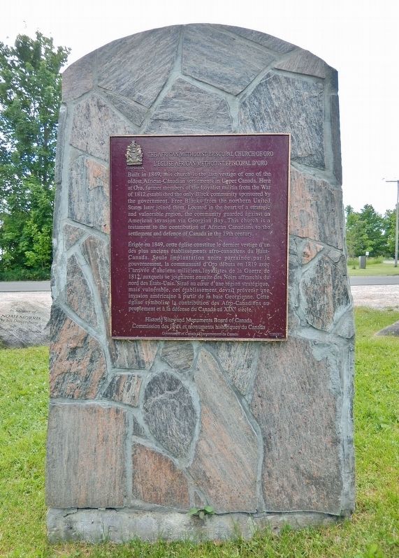
[English] Built in 1849, this church is the last vestige of one of the oldest African-Canadian settlements in Upper Canada. Here at Oro, former members of the Loyalist militia from the War of 1812 established the . . . — — Map (db m259900) HM
On Line 3 North at Old Barrie Road West (County Road 11), on the right when traveling north on Line 3 North.
Dedicated to the memory of the Black pioneers who settled in this area. The first settlers were soldiers of Capt. Runchey’s “Company of Coloured Men” who fought the Americans in the War of 1812. The next wave of settlers were “freemen” from the . . . — — Map (db m259994) HM
On Line 3 North at Old Barrie Road West (County Road 11), on the right when traveling north on Line 3 North.
[north side of monument] Between 1830 & 1850 some 24 Negro Families who had fled from slavery in the United States to freedom in Canada were settled in Oro, mostly on the Concession running north of Shanty Bay, known as . . . — — Map (db m259995) HM
On Line 3 North at Old Barrie Road West (County Road 11), on the right when traveling north on Line 3 North.
[English] Bicentennial Tribute This Oro African Methodist Episcopal Church Cemetery, a national historic site, represents the sacred ground of many unknown graves of veterans of the Black militia who . . . — — Map (db m259996) HM
On Line 1 South 0.9 kilometers east of Ridge Road West (County Road 20), on the right when traveling east.
[English] The only government-sponsored Black settlement in Upper Canada, the Oro community was established in 1819 to help secure the defence of the province's northern frontier. Black veterans of the War of 1812 . . . — — Map (db m259897) HM