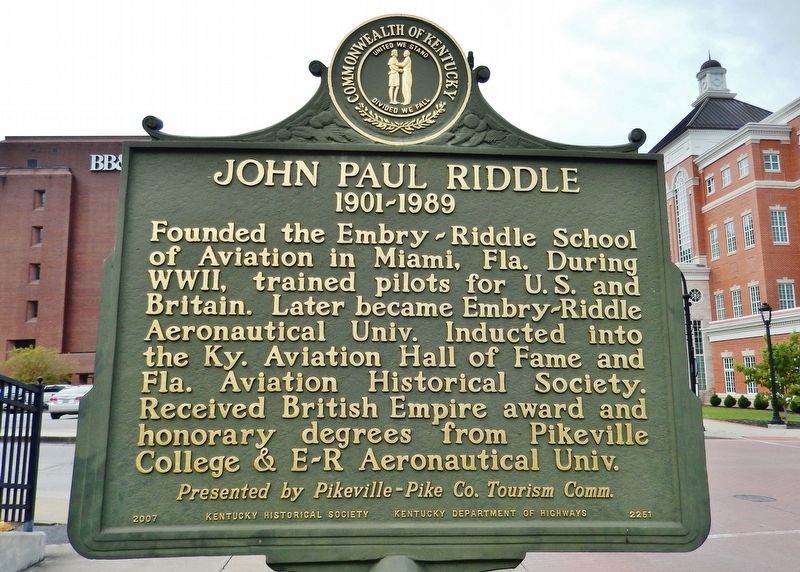
(side 1)
Aviation pioneer graduated from Pikeville College Academy in 1920.
Flew plane under Pikesville’s Middle Bridge on July 4, 1923.
Trained as a pilot in US Army, he & T. Higbee Embry founded the Embry-Riddle Flying School . . . — — Map (db m110100) HM
Side A
Born in Pike County, this poet was a daughter of former slaves, Frank and Sibbie Waller. All of
their children attained a greater degree of education than usual at that time. They earned teaching certificates at Ky. State Normal . . . — — Map (db m146166) HM
Here Col. Garfield was commissioned Brigadier General in the Union army. The man who later became president was sworn in as general by Squire Charles of Pike County January 1862. — — Map (db m146169) HM
The feud resulted, in part, from
Civil War conflicts, romantic
entanglements, family-oriented
discord, property and election
disputes, mixed with mountain
pride. Violence surrounding clan
leaders Anderson Hatfield and
Randolph McCoy . . . — — Map (db m146181) HM
In a coma for 11 days due to typhoid fever, young Billy Hambley saw an “enormous sphere of brilliant white light, a crystal-clear
ball,” that hovered over him for some time. As he matured, he wondered what the sphere meant as he pondered his . . . — — Map (db m273100) HM
Designer: O.S. Batten
Contractor: Local WPA Crews
Year Built: 1936
The Pauley Bridge was placed on the
National Register of Historic Places in 1991
Renovation was completed in 2006 and re-opened
as a pedestrian and bicycle . . . — — Map (db m198614) HM