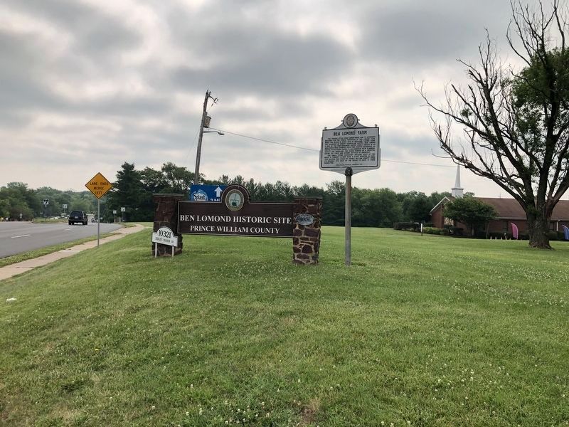
The Federal style stone, “Manor” house and its accessory buildings are the visible reminders of Ben Lomond Farm, which was begun in about 1830 by Benjamin Tasker Chinn, the grandson of Robert “Councillor” Carter. Ben . . . — — Map (db m43313) HM
The Ben Lomond Manor House was built in 1837 by Benjamin Tasker Chinn and served as the principal structure on 1,739 acres of land. Prosperous farmers before the war, the Chinns watched their fortunes decrease due to the proximity of the estate to . . . — — Map (db m2477) HM
In 1861, small farms surrounded Bull Run. Small roads were the main transportation routes to the Warrenton Turnpike (Route 29), Sudley Road (Route 234) and the Manassas Gap Railroad. The entrance road here follows a section of a 19th-century farm . . . — — Map (db m2479) HM
Yorkshire, the home of Wilmer McLean, once stood near here. McLean acquired the property through his wife’s family in 1854. Located near two major fords on Bull Run, McLean’s plantation became the scene of one of the Civil War’s earliest actions. On . . . — — Map (db m3940) HM
Part of an early 18th century plantation established on Bull Run by Col. Richard Blackburn formerly of Yorkshire, England, the land was acquired by Wilmer McLean in 1854. The battle which opened 1st Manassas raged across this farm July 18, 1861, . . . — — Map (db m657) HM
On July 18, 1861, Gen. Irvin McDowell, the Union army commander, learned that the Confederate army had withdrawn from its Centreville earthworks to a strong defensive position behind Bull Run. McDowell ordered Gen. Daniel Tyler to reconnoiter the . . . — — Map (db m42643) HM
By the early summer of 1861, Americans in both the North and South greeted the outbreak of war with patriotism and expectations of a quick decisive battle to end the conflict. In the North, the public clamored for immediate invasion to crush the . . . — — Map (db m42644) HM
8:45 A.M. July 21st 1861 Battle of First Manassas (Bull Run).
From this hilltop Capt. E.P. Alexander, CSA, sent America’s first battlefield telecommunication: Look out for your left, you are turned. This short message to Col. Evans warning . . . — — Map (db m235330) HM WM
This elevation behind the Confederate right flank at Manassas in July
1861 was one of four Confederate
signal stations established by Capt. Edward Porter Alexander; Gen. P.G.T. Beauregard’s signal officer. Because the hilltop was devoid of trees, . . . — — Map (db m28376) HM
Dedicated by the Ladies Memorial Association of Manassas, on August 30, 1889, to the heroes of Virginia and her sister states, who yielded their lives on July 18 & 21, 1861 & August 28, 29 & 30, 1862, in defense of the Confederate cause. — — Map (db m19815) WM
In this vicinity stood a number of small earthworks erected by the Confederates in the summer of 1861 to protect the railroad and their army’s base here. The Confederates evacuated Manassas in March, 1862, destroying what militarily useful material . . . — — Map (db m2470) HM
This structure reputedly is the oldest dwelling in Manassas. Part of the building is of log and is supposed to have been built before the Civil War. Most of the original houses of the hamlet of Tudor Hall—subsequently Manassas, were in the . . . — — Map (db m2415) HM
One mile west was the junction of the Orange and Alexandria and Manassas Gap Railroad lines. The point became known as Manassas Junction. During the Civil War both sides used the area as a supply base. The site of the first depot was probably about . . . — — Map (db m700) HM
During the 1850s two railroad lines, the Orange & Alexandria and the Manassas Gap, intersected at a small Prince William County village that became known as Manassas Junction. In 1861 more than 20,000 Confederate troops from across the South . . . — — Map (db m41506) HM
(Preface): During the Civil War, two railroads—the Manassas Gap and the Orange and Alexandria—intersected here. Manassas Junction was strategically important to both the Union and the Confederacy as a supply depot and for military . . . — — Map (db m2453) HM
During the Civil War, two railroads—the Manassas Gap and the Orange and Alexandria—intersected here. Manassas Junction was strategically important to both the Union and the Confederacy as a supply depot and for military transportation. . . . — — Map (db m2463) HM
(During the Civil War, two railroads—the Manassas Gap and the Orange and Alexandria—intersected here. Manassas Junction was strategically important to both the Union and the Confederacy as a supply depot and for military transportation. . . . — — Map (db m2464) HM