14 entries match your criteria.
Historical Markers and War Memorials in Palestinian Territories
By Erez Speiser, 2017
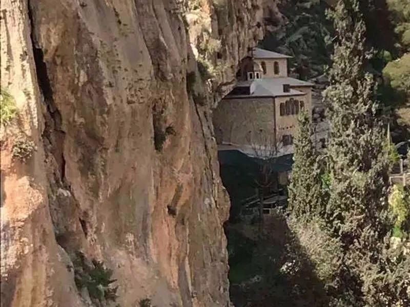
Paran Monastery In Wadi Qelt
| Near Wad Ma'Ali Street south of Manger Road. |
| Near Derech Kedem Street. |
| Near National Route 90, 9 kilometers south of National Route 1, on the right when traveling south. |
| Near National Route 90, 9 kilometers south of National Route 1, on the right when traveling south. |
| Near National Route 90, 9 kilometers south of National Route 1, on the right when traveling south. |
| Near National Route 90, 9 kilometers south of National Route 1, on the right when traveling south. |
| Near National Route 90, 9 kilometers south of National Route 1, on the right when traveling south. |
| Near National Route 90, 9 kilometers south of National Route 1, on the right when traveling south. |
| Near National Route 90, 9 kilometers south of National Route 1, on the right when traveling south. |
| Near National Route 90, 9 kilometers south of National Route 1, on the right when traveling south. |
May. 13, 2024