16 entries match your criteria.
Historical Markers and War Memorials in Renfrew County, Ontario
By Kevin Craft, July 4, 2017
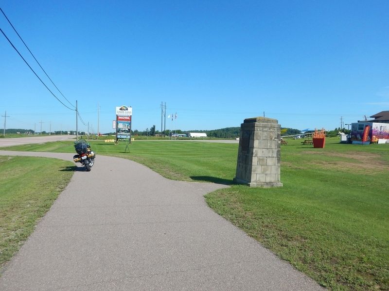
Wideview of Champlain's Astrolabe Marker
| On Trans-Canada Highway (Provincial Highway 17) 0.1 kilometers east of Logos Land Road, on the right when traveling west. |
| Near Trans-Canada Highway (Provincial Highway 17) 0.3 kilometers west of Main Street. |
| On Dunlop Crescent, 0.1 kilometers north of Trans-Canada Highway (Provincial Highway 17), on the right when traveling north. |
| On Trans-Canada Highway (Provincial Highway 17) 0.4 kilometers east of Swisha Road (County Highway 635), on the right when traveling west. |
| On Provincial Highway 17, 0.1 kilometers west of Kirkwood Way, on the right when traveling east. |
| On James Street, 0.1 kilometers north of Mary Street, on the right when traveling north. |
| On Pembroke Street East (Provincial Highway 17) at Angus Campbell Drive, on the right when traveling south on Pembroke Street East. |
| On Pembroke Street West at Riverside Drive, on the right when traveling west on Pembroke Street West. |
| On Paquette Road (County Highway 55) at Petawawa Boulevard (County Highway 51), on the right when traveling west on Paquette Road. |
| On Railway Avenue just east of Raglan Street South (County Highway 60), on the left when traveling east. |
| On Railway Avenue at Raglan Street South, on the right when traveling north on Railway Avenue. |
| On Railway Avenue just east of Raglan Street South (County Highway 60), on the right when traveling east. |
| On Railway Avenue at Raglan Street South (County Highway 60), on the right when traveling east on Railway Avenue. |
| On Ragland Street South (County Highway 60) at Railway Avenue, on the left when traveling south on Ragland Street South. |
| On Railway Avenue just east of Raglan Street South (County Highway 60), on the left when traveling east. |
| On Ragland Street South (County Highway 60) at Railway Avenue, on the right when traveling north on Ragland Street South. |
May. 7, 2024