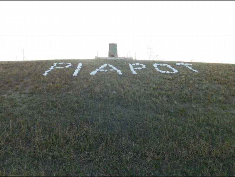
On Local Road 614 south of Second Avenue, on the right when traveling south.
In 1883, the famous Cree Chief Piapot came into conflict with the CPR in this vicinity. He and his people camped in the middle of the projected right-of-way and refused to move. Construction was held up for some time until the Crees were persuaded . . . — — Map (db m289821) HM
On Pacific Avenue at Gordon Street, on the left when traveling west on Pacific Avenue.
In 1883 Piapot led his band in an act of non-violent resistance against the railway and the Europeans coming into Cree Lands. They would pull up the survey stakes and place teepees in the path of the Canadian Pacific Railway track laying crews. He . . . — — Map (db m290054) HM
On Trans-Canada Highway (Provincial Highway 1) 4.6 kilometers east of Provincial Road 614, on the right when traveling east.
The "76" Ranch took its name from the brand used by the Powder River Ranch in Wyoming. When Sir John Lister-Kaye bought the ranch’s entire herd of cattle for his land development, he kept the brand and took the name “76”. This was the site of the . . . — — Map (db m201571) HM
On Trans-Canada Highway (Provincial Highway 1) 4.6 kilometers east of Provincial Road 614, on the right when traveling east.
In 1884, Sir John Pepys Lister-Kay, a Yorkshire Baronet, arrived in the Northwest from California, bought 7,000 acres of land near Balgonie, and started a farm. In 1886, Lister-Kaye became interested in the Swift Current area. He bought ten . . . — — Map (db m201573) HM
On Trans-Canada Highway (Provincial Highway 1) 4.6 kilometers east of Provincial Road 614, on the right when traveling east.
During the 1870’s, as the vast buffalo herds disappeared, ranchers came to this area to fill the empty prairie with cattle and horses. The arrival of the North-West Mounted Police, who established posts at nearby centres like Fort Walsh, helped . . . — — Map (db m201581) HM