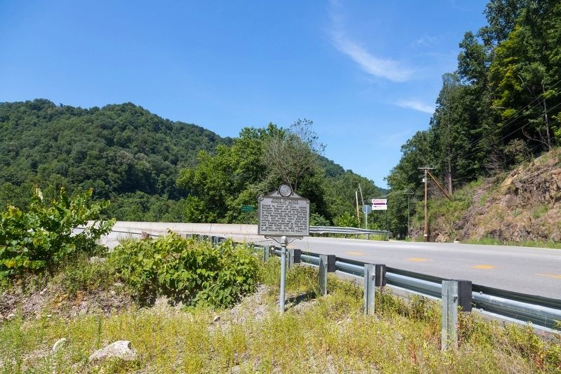
On West Virginia Route 16 at Elkhurst Road, on the right when traveling south on West Virginia Route 16.
Named in honor of Ozro, Johnie,
Burman, Eugene and Lawson Jones,
brothers who grew up in Hartland
in Clay County and served in the
Army during World War II. Burman,
Ozro, and Johnie were killed in
action during the war. After the
war, Eugene . . . — — Map (db m137964) HM
On Main Street (West Virginia Route 16) east of Locust Street, on the right when traveling east.
Born on December 10, 1826, he was one of the first school teachers in Nicholas County. He moved to Clay County before the Civil War and was a delegate to the first constitutional convention for West Virginia, 1861-1863. In 1863, he organized a . . . — — Map (db m137965) HM
On West Virginia 36 near Jennings Randolph Highway (Interstate 79), on the right when traveling south.
Corporal Marshall Bailey was working a routine stop at the Wallback Park & Ride off Interstate 79 when he was fatally wounded.
Marshall graduated from Poca High School in 1988 where he played basketball all four years. His senior year, the team . . . — — Map (db m246889)
On Main Street (West Virginia Route 4) at Main Street ( Route 16), on the left when traveling east on Main Street.
During the Civil War, civilians in West Virginia formed Union militias to combat Confederate guerrillas and to protect the local citizenry. Often called Home Guards, these units were sometimes incorporated into the regular army. There were . . . — — Map (db m179592) HM
On Buffalo Creek Road north of East Dundon Road, on the left when traveling north.
"Grandpa Zachariah 'Bud' Whaling worked in the Dundon shops. If they didn’t have a part, they made it. You wouldn’t believe the lathes and handmade tools lined up on the shelves! Rows and rows and rows of them." Jerry . . . — — Map (db m292721) HM
On West Virginia 36 at Jennings Randolph Highway (Interstate 79), on the right when traveling south on West Virginia 36.
Trooper Eric Michael Workman's favorite quote as a fisherman was;
The finest gift you can give a fisherman is to put a good fish back and who knows if the fish that you caught isn't someone else's gift to you"-Lee Wulff
Giving back was . . . — — Map (db m246887)
On Hamrick Road (County Road 11/2) south of Triplett Ridge Road (County Road 11), on the left when traveling south.
Water: it is the most valuable natural resource on Earth. Every living thing on our planet would cease to exist without daily consumption of it. To a steam engine on the Buffalo Creek and Gauley Railroad, it, too, was the critical element that . . . — — Map (db m292730) HM
On West Washington Street (U.S. 60) just west of Rebecca Street, on the left when traveling west.
The Littlepage Terrace Public Housing Project, constructed ca. 1939 under the Works Progress Administration (WPA) of the New Deal Program, was built upon the remnants of the Littlepage farm owned by the prominent Charleston Littlepage family. The . . . — — Map (db m178781) HM
On Dixie Highway (West Virginia Route 16) just north of Twenty Mile Creek Road (Route 16/3), on the left when traveling south.
Nearby is grave of Seaberry Osborne (circa, 1815-66), daughter of Chief Running Bear. She married Solomon Osborne in Cherokee, N.C. and in 1838 fled to escape “Trail of Tears.” The Native American pioneers found sanctuary in the mountains and land . . . — — Map (db m138009) HM
Thin black lines indicate changes in relevance. Between each pair of lines entries are ordered geographically but all have the same relevance.
* Inflectional forms of words are their plurals, singulars, and possessives as well as gramatical tenses and similar variations.