On Sullivan Avenue just south of Towpath Road, on the right when traveling east.
British by birth - January 13, 1910, Canadian by conviction, World War II veteran, noted photographer. Over 25 years dedicated municipal service on the Board of Education, Public Utilities Commission and Municipal Council with one term as Reeve. His . . . — — Map (db m54109) HM
Near Sullivan Avenue south of Towpath Road, on the right when traveling east.
Following their repulse at Stoney Creek the Americans sent a force from Fort George to destroy a British advanced post at Beaver Dams. Warned of their approach by an Indian scout and by Laura Secord, a force of Indians from Caughnawaga and the Grand . . . — — Map (db m48909) HM
On DeCew Road west of Merrittville Highway (Ontario Highway 50), on the right when traveling west.
This house of Captain John DeCou (the name was variously spelled by his relatives and descendants and latterly as DeCew) was the Headquarters of the British outpost under Lieut. James Fitzgibbon to which came Laura Secord through the woods and . . . — — Map (db m56826) HM
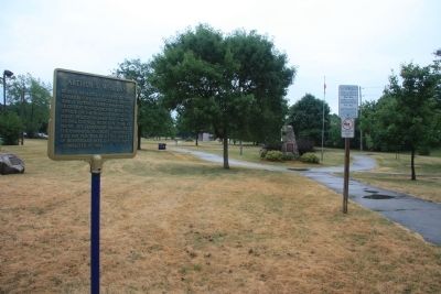
On Sullivan Avenue just south of Towpath Road, on the right when traveling east.
John Bean was born in Attercliffe, Ontario, on September 8, 1901. He attended Stratford Collegiate Institute in Ontario and Northwestern College before transferring to the University of Michigan, where he earned his degrees and spent the rest of his . . . — — Map (db m54119) HM
On Sullivan Avenue just south of Towpath Road, on the right when traveling east.
Who set out from her home in Queenston early in the morning of June 22, 1813, to walk an arduous nineteen miles to warn the British outpost at DeCew Falls of an impending American attack. The information enabled the local British commander, . . . — — Map (db m53392) HM
On Albert Street West at Ekins Lane, on the right when traveling west on Albert Street West.
[Top plaque]
City of Thorold
The Old Firehall
1878
Designated under
the Ontario Heritage Act
[Bottom plaque]
Thorold's Old Firehall
1878
Designed by John Latshaw in red and yellow brick, this . . . — — Map (db m196305) HM
During the construction of the original Welland Canal, 1824-1829, a number of communities sprung up along its length. Here, on land belonging to George Keefer, a village known as Thorold had developed by 1828. A large flouring mill was built on the . . . — — Map (db m54088) HM