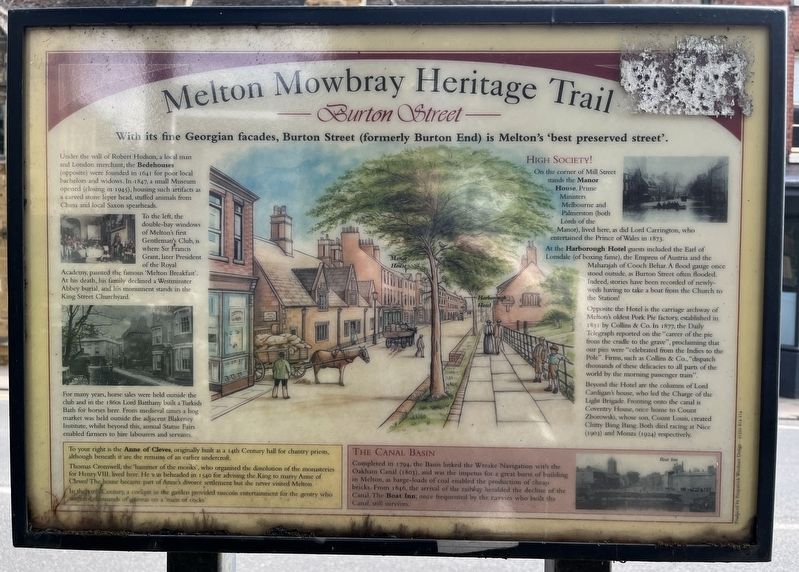
With its fine Georgian facades, Burton Street (formerly Burton End) is Melton's 'best preserved street'.
Under the will of Robert Hudson, a local man and London merchant, the Bedehouses (opposite) were founded in 1641 for poor local . . . — — Map (db m313776) HM
King Street's rich and diverse history has been central to life in the Town for over 5000 years.
Lords of Melton
After the Norman Conquest in 1066, Geoffrey de la Wirce became the first Norman Lord of Melton. He was succeeded by his . . . — — Map (db m307577) HM
This wall marks the eastern boundary of the London Road used by mediaeval kings and the only route between London and the north until the late 14th century.
King Richard the Lionheart travelled along this road in 1194.
There has been a . . . — — Map (db m313956) HM
Behind the Victorian shop fascia of 7 King Street lies the medieval manor house built for John de Mowbray. This small garden is a 'snapshot' of the sorts of herbs and features that would have been found in John's garden in the fourteenth century. It . . . — — Map (db m307576) HM
The History of the Play Close
In 1848, the townspeople of Melton used the Play Close for shows, recreation and stalls at fair time. With Lord Melbourne's agents allowing pig sties and other buildings on the adjoining land, many of the . . . — — Map (db m313952) HM
The Queen Elizabeth II Fields.
The Queen Elizabeth II Fields was a programme to mark Her Majesty the Queen's Diamond Jubilee - led by its Patron HRH The Prince William of Wales. The Queen Elizabeth II Fields are intended to create a legacy of . . . — — Map (db m313955) HM
The History of the Market Place
Melton Mowbray's Market is mentioned in the Domesday book, an accolade bestowed on only a few towns in England; recorded as the only one in Leicestershire. The market itself is the third oldest in the land, and . . . — — Map (db m313953) HM
History
The Melton Mowbray Town Estate has, since its inception in 1549, had a positive and beneficial influence on the townspeople of Melton Mowbray.
Being an ancient charity, it was "the premier local authority" carrying out all the . . . — — Map (db m313951) HM