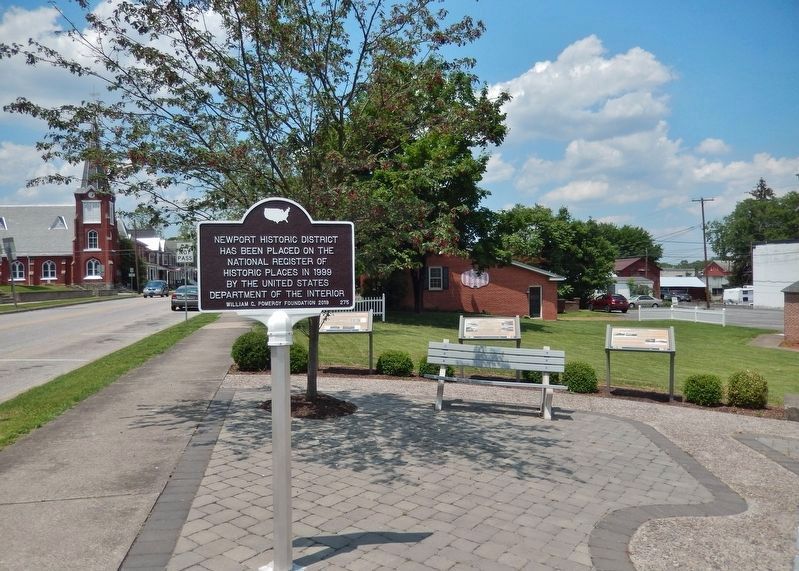
Newport Historic District has been placed on the National Register of Historic Places in 1999 by the United States Department of the Interior — — Map (db m175042) HM
Three hundred million years ago tectonic plates smashed together and created the Pennsylvania Ridge and Valley Region. Over the eons tributaries fashioned the Juniata River. In what is now Newport an alluvial plain developed between two . . . — — Map (db m175044) HM
In November 1829, a canal boat loaded with elected officials arrived in Newport from Mifflintown. The boat was drawn by two white horses. An American flag was flying, a cannon roaring and a band playing! Thus, the canal era officially opened . . . — — Map (db m175051) HM
The Pennsylvania Railroad (PRR) reached Newport in 1849 and connected with Pittsburgh by 1857. As with the 1829 Pennsylvania Canal, Newport area business and population increased. By the late 1800s as many as seven passenger trains a day . . . — — Map (db m175062) HM
After the Civil War manufacturers and businesses continued to grow. The Marshall Iron Furnace and Bechtel Tannery were founded in 1871. By the late 1800s manufacturers and businesses in Newport and Oliver Township had grown considerably including . . . — — Map (db m220306) HM
Newport began as a river community, a shipping center for the farm and forest products of the county's interior. By the 1790s flatboats floated goods down the Juniata to markets in the Susquehanna Valley. In the 19th century the canal and . . . — — Map (db m220368) HM
The motor vehicle both altered and saved the local economy. In 1903 businessman W. H. Gantt owned one of the first automobiles in the borough. By 1925 the livery stables and carriage manufacturers in Newport were out of business. The town . . . — — Map (db m220375) HM
This Newport Heritage Park location was made possible in 2015 by the generous community spirit of the congregation of St. Paul’s Lutheran Church.
First recorded Lutheran services were held in Newport homes and school houses by the Rev. John W. . . . — — Map (db m89726) HM
(Top plaque) Route of the United States Despatch Riders who entered Perry County through Sterrett’s Gap (originally Croghan’s Gap), crossed the Juniata River at Reider’s Ferry, bearing orders from the United States Government War Department . . . — — Map (db m89728) HM WM