7 entries match your criteria.
Related Historical Markers
To better understand the relationship, study each marker in the order shown.
By Craig Swain, June 22, 2007
Campaign of Second Manassas Marker
SHOWN IN SOURCE-SPECIFIED ORDER
| On West Main Street / John Marshall Highway (Virginia Route 55), on the right when traveling east. |
| On Loudoun Avenue (County Route 626) north of John Marshall Highway (Virginia Route 55), on the left when traveling north. |
| On John Marshall Highway (Virginia Route 55) at Beverleys Mill Road, on the right when traveling west on John Marshall Highway. |
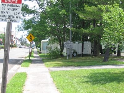
| On Sudley Road (Virginia Route 234) north of Exit 47 (Interstate 66), on the right when traveling north. |
| On Machen Road at U.S. 29, on the right when traveling south on Machen Road. |
| On Sudley Road (Virginia Route 234) north of Exit 47 (Interstate 66), on the right when traveling north. |
| On John Mosby Highway (U.S. 50) west of Pleasant Valley Road (the one in Loudoun County), on the right when traveling east. |
May. 17, 2024