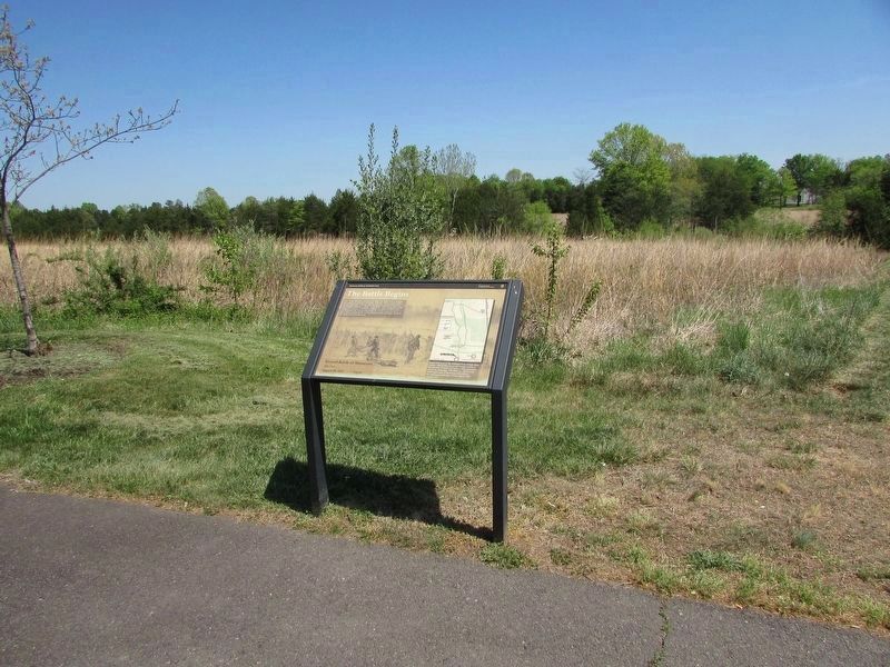
Near Pageland Lane (County Route 705) 0.6 miles north of Lee Highway (U.S. 29), on the right when traveling north.
Late on the afternoon of August 28, Brig. Gen. Rufus King's division proceeded east towards Centreville. They marched in search of the elusive "Stonewall" Jackson, who was operating behind Union lines with half the Confederate army. As the head of . . . — — Map (db m58797) HM
"My command was advanced...until it reached a commanding position near Brawner's house. By this time it was sunset; but as [the Union] column appeared to be moving by, with its flank exposed, I determined to attack at once."
Observing a column . . . — — Map (db m45952) HM
Near Pageland Lane (County Route 705) 0.7 miles north of Lee Highway (U.S. 29), on the right when traveling north.
August 28, 1862 7:00 p.m. 4th Brigade (Gibbon), First Division (King) Third Corps (McDowell), Army of Virginia, USA 19th Indiana Infantry Col. Solomon Meredith "The enemy was secreted under cover of a fence and did not make their appearance . . . — — Map (db m8430) HM
Near Pageland Lane (County Route 705) 0.7 miles north of Lee Highway (U.S. 29), on the right when traveling north.
Union Brig. Gen. John Gibbon advanced through the woods with his men intent on driving off the Confederate artillery. Discovering Stonewall Jackson's infantry in force and "...finding that the regiment had become badly involved I ordered the . . . — — Map (db m58808) HM
Near Pageland Lane (County Route 705) 0.7 miles north of Lee Highway (U.S. 29), on the right when traveling north. Reported missing.
At Brawner Farm there was little maneuvering. Union and Confederate infantry stood in parade-style lines fifty yards apart. At that range they could not miss. The soldiers fired volley after volley for two hours, with only a few fence rails and ruts . . . — — Map (db m8402) HM
Near Pageland Lane (County Route 705) 1 mile north of Lee Highway (U.S. 29), on the right when traveling north.
August 28, 1862 7:00 p.m. 4th Brigade (Gibbon), First Division (King) Third Corps (McDowell), Army of Virginia, USA 2nd Wisconsin Infantry Col. Edgar O'Conner "Rebel infantry poured from the woods by the thousands. We were precisely on the . . . — — Map (db m8467) HM
Near Lee Highway (U.S. 29), on the right when traveling west.
August 28, 1862 7:00 p.m. 4th Brigade (Gibbon), First Division (King) Third Corps (McDowell), Army of Virginia, USA 7th Wisconsin Infantry Col. William W. Robinson "We soon found that we had to deal with General Ewell's whole division of . . . — — Map (db m39372) HM
Near Lee Highway (U.S. 29), on the right when traveling west.
August 28, 1862 7:15 p.m. 2nd Brigade (Doubleday), First Division (King) Third Corps (McDowell), Army of Virginia, USA 76th New York Infantry ("Cortland County Regiment") Col. W.P. Wainwright "Waving their colors defiantly, the rebels advanced . . . — — Map (db m18278) HM
Near Lee Highway (U.S. 29), on the right when traveling west.
As General Rufus King's Union division marched eastward along the Warrenton Turnpike (U.S. Route 29 today), they came under fire from Confederate artillery on the distant ridge. Captain Joseph Campbell's Battery B, 4th U.S. Artillery wheeled off the . . . — — Map (db m58895) HM
Near Lee Highway (U.S. 29), on the right when traveling west.
August 28, 1862 6:30 p.m. 1st Division (King), Third Corps (McDowell), Army of Virginia, USA Company B, 4th U.S. Artillery Capt. Joseph B. Campbell Six 12-pounder Napoleons "Campbell's pieces came up on the gallop, these fences along the pike . . . — — Map (db m17476) HM
Near Lee Highway (U.S. 29), on the right when traveling west.
August 28, 1862 7:00 p.m. 4th Brigade (Gibbon), First Division (King) Third Corps (McDowell), Army of Virginia, USA 6th Wisconsin Infantry Col. Lysander Cutler "When at short range, Colonel Cutler ordered the regiment to halt and fire. We were . . . — — Map (db m39317) HM
Near Lee Highway (U.S. 29), on the right when traveling west.
August 28, 1862 7:15 p.m. Trimble's Brigade, Ewell's Division Left Wing (Jackson) Army of Northern Virginia, CSA 15th Alabama Infantry Maj. A. A. Lowther "My position in line at this fence was in the immediate rear of Alonzo Watson. We were . . . — — Map (db m39316) HM
Near Lee Highway (U.S. 29), on the right when traveling west.
August 28, 1862 7:15 p.m. Trimble's Brigade, Ewell's Division Left Wing (Jackson) Army of Northern Virginia, CSA 21st Georgia INfantry Capt. Thomas C. Glover "The fence being reached, the work of death commenced at short range. From this fence . . . — — Map (db m18298) HM
Near Lee Highway (U.S. 29), on the right when traveling west.
August 28, 1862 7:15 p.m. Trimble's Brigade, Ewell's Division Left Wing (Jackson) Army of Northern Virginia, CSA 21st North Carolina Infantry Lt. Col. Sanders Fulton "We halted at this fence, quickly tore it down, and piled the rails in front. . . . — — Map (db m39432) HM
Near Pageland Lane (County Route 705) 1 mile north of Lee Highway (U.S. 29), on the right when traveling north.
August 28, 1862 7:15 p.m. Lawton's Brigade, Ewell's Division Left Wing (Jackson) Army of Northern Virginia, CSA 26th Georgia Infantry Maj. Eli S. Griffin "We were ordered in just after dark. We marched steadily across an open field for about . . . — — Map (db m18358) HM
Near Pageland Lane (County Route 705), on the right when traveling north.
On the morning of August 30, 1862, Confederate Col. Stephen D. Lee deployed 18 guns from his artillery battalion along this commanding ridge. Additional cannon, under Maj. Lindsey M. Shumaker, unlimbered to his left. The artillery linked the two . . . — — Map (db m58863) HM
On Pageland Lane (County Route 705) 1 mile north of Lee Highway (U.S. 29), on the right when traveling north. Reported missing.
From here, Confederate gunners had a clear view of Porter's attack - the most formidable onslaught of the three days. There were few trees between S.D. Lee's Battalion and the nearest Union columns a third of a mile away. As thousands of bluecoats . . . — — Map (db m8459) HM
Near Pageland Lane (County Route 705) 1 mile north of Lee Highway (U.S. 29), on the right when traveling north.
August 28, 1862 7:00 p.m. Jackson's Division (W. B. Taliaferro) Left Wing (Jackson) Army of Northern Virginia, CSA First Brigade (The Stonewall Brigade) Col. William S. Baylor 2nd Virginia 5th Virginia 4th Virginia 27th Virginia 33rd Virginia . . . — — Map (db m8465) HM
On Pageland Lane (County Route 705) 0.7 miles north of Lee Highway (U.S. 29), on the right when traveling north.
Union troops were approaching from the west, raising a long cloud of dust on Warrenton Pike. They did not suspect any Confederate infantry in the area and paid little attention to a lone cavalryman trotting back and forth along this ridge. The . . . — — Map (db m8458) HM