15 entries match your criteria.
Antonio de Espejo Entrada of 1582-1583 Historical Markers Antonio de Espejo was a Spanish explorer who led an expedition into New Mexico, Arizona and Texas in 1582-1583. The expedition created interest in establishing a Spanish colony among the Pueblo Indians of the Rio Grande valley. The journals from this trip, especially those of Diego Pérez de Luxan, provide early first hand accounts of the region and Native Americans living there.
By Richard Wisehart, July 8, 2009
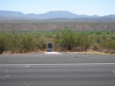
Big Sandy Valley Marker
GEOGRAPHIC SORT Title Sort Marker Number Sort Marker Number Sort N Marker Number Sort T Publication Order Sort Publication Order Sort A Erected Year Sort Most Viewed Sort Most Recent-Interest Sort Most Recently Changed Sort SEE FAQ #33 FOR DESCRIPTIONS
On U.S. 93, on the right when traveling north. Reported missing.
On U.S. 285 at County Road 719, on the right when traveling north on U.S. 285.
On Coronado Avenue (U.S. 84) 0.1 miles east of Interstate 40, on the right when traveling east.
On Coronado Avenue at River Road, on the right when traveling east on Coronado Avenue.
On New Mexico Route 44 / (U.S. 55) 0.3 miles east of Zia Boulevard (Business Road 785), on the left when traveling west.
Near CanAm Highway (Interstate 25 at milepost 113), 1.2 miles south of State Road 107, on the right when traveling south.
Near San Elizario Road at Church Street.
Near Lt. Henry Flipper Drive.
On Wild Rose Pass (State Highway 17) 1.3 miles south of Powell Ranch Road, on the left when traveling south.
On U.S. 67, 0.8 miles east of Highland Street, on the right when traveling west.
On East 1st Street at South Cedar Street (U.S. 285), on the left when traveling west on East 1st Street.
On Texas Park Road 30 near Texas Highway 17, on the right when traveling south.
Near State Highway Park Road 41, 0.2 miles north of Interstate 20, on the left when traveling north.
Paid Advertisement
May. 5, 2024