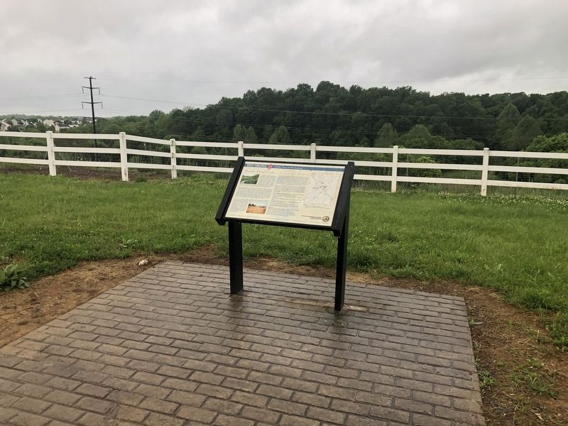
This series is a set of markers along the bike trail that follows along Route 9 in West Virginia's Eastern Panhandle between Charles Town and Martinsburg.
On Route 9 Bike Path 0.2 miles south of Short Road (County Road 36/1), on the right when traveling south.
The Shaw Run Wetland Complex is a calcareous fen. A "fen" is defined as low land covered wholly or partly with water. fed by Shaw Spring and Shaw Run, the wetland is a unique type of wetland for West Virginia because of its marl substratum (layer . . . — — Map (db m150612) HM
On Route 9 Bike Path south of Short Road (County Route 9/19), on the right when traveling north.
Stone House Mansion, predominantly Georgian in style, was constructed in 1757, and is one of the oldest stone structures in Berkeley County. The property is listed in the National Register of Historic Places for its association with the Hite vs. . . . — — Map (db m167518) HM
On Charles Town Road (West Virginia Route 9) east of Variform Drive (County Route 9/14). Reported unreadable.
Local lawyer and newspaper editor, F. Vernon [unreadable], established the Continental Clay ?Brick works on a portion of his family farm in [unreadable]. Ten beehive kilns were initially constructed to fire the bricks after they were molded. . . . — — Map (db m132440) HM
On Route 9 Bike Path 0.8 miles north of Currie Road, on the right when traveling north.
This working farm was established in 1750 when Thomas Lord Fairfax granted 400 acres of his 5 million-acre Northern Neck Proprietary to Henry Lloyd. In 1774, the grant passed to Walter Baker, who is credited with building the original portion of . . . — — Map (db m207034) HM
On Route 9 Bike Path 0.2 miles north of Leetown Road (County Road 1), on the right when traveling north.
Shepherdstown and Smithfield Turnpike Tollhouse/John Fox House
Immediately west of Rellim Farm is a mid-19th century log dwelling, and the only known surviving toll house on the old Shepherdstown and Smithfield Turnpike (previously Leetown . . . — — Map (db m148880) HM
On Route 9 Bike Path 0.7 miles north of Leetown Road (County Road 1), on the right when traveling south.
Traveller's Rest
Traveller's Rest is the site of a pre-Revolutionary War, 1½-story limestone dwelling and several log, wood frame, and masonry outbuildings. The property is listed in the National Register of Historic Places and . . . — — Map (db m150614) HM
On Route 9 Bike Path 0.4 miles south of Luther Jones Road (County Road 16/4), on the right when traveling north.
On the east side of WV 9 is one of the oldest standing frame (post and beam) buildings in West Virginia. It was constructed in three sections, with the oldest, 1½-story eastern section dating between 1751 and 1755. The voids between the studs . . . — — Map (db m207032) HM
On Route 9 Bike Path at Charles Town Road ( Route 115), on the left when traveling north on Route 9 Bike Path.
Tackley Farm, originally known as Valley View, was established in 1777 when Michael Blue leased a portion of the property from original grantee, Colonel Richard Blackburn, who migrated from England and acquired over 2,000 acres in 1754. Both . . . — — Map (db m150420) HM
On Route 9 Bike Path just east of Charles Town Road ( Route 115), on the left when traveling east.
The house was constructed by John C. Heinz in 1924 and 1925. Heinz sold the property to Samuel C. Heinz in September of 1924, and the deed specifically mentions the house "under construction."
The house style, known as “The . . . — — Map (db m107549) HM
On Charles Town Road (County Route 115/5) south of Luther Jones Road (County Route 16/4), on the right when traveling south.
The Hockensmith Apple Storage Building, constructed circa 1900-1910, is one of the few remaining commercial buildings in the area reflecting the Eastern Panhandle's significant orchard industry. The area's underlying limestone bedrock forms a red . . . — — Map (db m207033) HM