Marker Logo HMdb.org THE HISTORICAL
MARKER DATABASE
“Bite-Size Bits of Local, National, and Global History”


16 entries match your criteria.  


Francis Marion Trail Historical Markers

A heritage tourism trail centering on the life and campaigns of General Francis Marion. Francis Marion, also known as the Swamp Fox, was one of the most successful partisan military leaders of the American Revolutionary War.
 
Overview image, Touch for more information
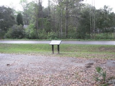
By Anna Inbody, March 24, 2012
Overview
1 South Carolina, Berkeley County, Huger — Quinby Bridge & Shubrick’s Plantation: The Disastrous “Raid of the Dog Days”
On Cainhoy Road, on the right when traveling south.
2 South Carolina, Berkeley County, Moncks Corner — Colleton House: “Unmanly Practices” or Legitimate Target?
Near Stony Landing Road.
3 South Carolina, Berkeley County, Moncks Corner — Fort Fair Lawn: An Archeaological Treasure
Near Stony Landing Road.
4 South Carolina, Berkeley County, Moncks Corner — Wadboo Barony: Francis Marion’s Last Headquarters
Near State Highway 402 just north of State Highway S-8-44, on the left when traveling west.
5 South Carolina, Clarendon County, Manning — Ox SwampThe Swamp Fox Earns His Name
On US 301 & US 521, on the left when traveling north.
6 South Carolina, Clarendon County, Manning — Wyboo Swamp:The Beginning of the Bridges Campaign
On Patriot Road (State Highway 14-410) at Wyboo Road on Patriot Road.
7 South Carolina, Clarendon County, Rimini — Halfway Swamp:“… In pursuit of a Brother to Kill Him”
On Old River Road at Elliots Landing Road, on the right when traveling south on Old River Road.
8 South Carolina, Clarendon County, Summerton — Fort Watson:Disrupting British Supply Lines
On St. Paul Road (U.S. 301/15), on the right when traveling north.
9 South Carolina, Florence County, Johnsonville — Witherspoon’s Ferry: Francis Marion Takes Command
On Odell Venters Landing east of Kingsbury Highway (State Route 41), on the right when traveling north.
10 South Carolina, Florence County, Mill Branch — Burch's Mill: South Carolina’s First Civil War Nears It’s End
On Mill Branch Road.
11 South Carolina, Georgetown County, Rhems — Black Mingo Creek:Fighting Among Neighbors
Near Mingo Landing Trail (State Highway 41).
12 South Carolina, Marion County, Britton's Neck — Dunham’s Bluff: Control of the Rivers
On Dunham's Bluff Road. Reported missing.
13 South Carolina, Marion County, Britton's Neck — Snow’s Island: Den of the Swamp Fox
On Bluff Road, on the right when traveling south.
14 South Carolina, Williamsburg County, Indiantown — Indiantown Presbyterian Church: “Disarm in the Most Rigid Manner”
On Hemingway Hwy (State Highway 261/512), on the left when traveling west.
15 South Carolina, Williamsburg County, Kingstree — Kingstree: Gathering Vital Intelligence
On Academy Street near Kelly Street, on the right when traveling north.
Paid Advertisement
16 South Carolina, Williamsburg County, Kingstree — Lower Bridge: Take the Low Ground!
On Martin Luther King, Jr. Ave. (State Highway 377) 0.5 miles north of Thorntree Road (State Highway S45-143).
 
 
CeraNet Cloud Computing sponsors the Historical Marker Database.
This website earns income from purchases you make after using our links to Amazon.com. We appreciate your support.
Paid Advertisement
May. 18, 2024