22 Kiosks guide the way along the Louisiana Myths & Legends Byway, creating a life-long travel memory. The Byway travels through flat land and along the riverbanks originally inhabited by the Atakapa and Coushatta Native Americans. The Byway then enters the area's abundant pine forests, which through the years were home to Civil War-era jayhawkers and to logging camps and lumber mills. In all, the Byway runs through three unique Louisiana parishes: Allen, Beauregard, Vernon.
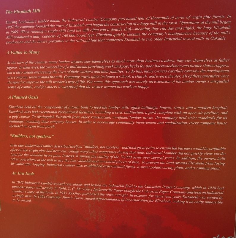
Center Panel The Elizabeth Mill During Louisiana's timber boom, the Industrial Lumber Company purchased tens of thousands of acres of virgin pine forests. In 1907 The company founded the town of Elizabeth and began the construction of a . . . — — Map (db m125179) HM
Center Panel People call Kinder "The Crossroads to Everywhere" because of the community's long history as a meeting place where people traded
goods and ideas and blended cultural experiences.
A Fork in the River Forges Kinder's Future . . . — — Map (db m201708) HM
Main Panel The Coushatta's Migration from Georgia to Louisiana
The Coushatta originally lived along the Tennessee River in Georgia and Alabama but migrated to Louisiana beginning in the late
1700s. Led by a leader known as Stilapihkachatta, . . . — — Map (db m189243) HM
Center Panel Oberlin: A Settlement on the Edge of the Prairie
Oberlin is located at the edge of the Louisiana prairie. Beyond it, the landscape turns to pine forests:. Positioned as it is, Oberlin
stands as a unique mixture of two . . . — — Map (db m126071) HM
(center panel)
Climbing roses and vine covered trellises, along with flowering plants adorned the yards of the 125 tenant houses that were built by the Hudson Lumber Com0any in 1903. The subsidiary sawmill was built by Long Bell Lumber . . . — — Map (db m109521) HM
Center Panel Sugartown Leads the Way
First surveyed as a township in 1807, Sugartown was established in 1816 when some of the first Anglo settlers began to arrive in the region.
Sugartown served as a way station for . . . — — Map (db m225772) HM
Main Panel A Waypoint through the Years
Old Campground stands near an ancient ford (a shallow place with good footing where a waterway can be crossed) on Sugar Creek, and the proximity of Old
Campground to this ford is not a coincidence, . . . — — Map (db m189246) HM
Center Panel The Atakapa-Ishak (uh-TAK-uh-paw ee-SHAK) are a band of Indians that inhabited all of southwest Louisiana and southeast Texas for centuries prior to European settlement of the region. The huge
area was inhabited by six bands of . . . — — Map (db m211081) HM
Center Panel In 1906 Samuel Holmes Fullerton organized the Gulf Lumber Company. The company purchased
106,000 acres of timber for $6,000,000 and invested more than $3,500,000 in buildings and machinery
to construct a mill. Built entirely of . . . — — Map (db m190218) HM
(center panel)
A Back Door of the United States
Throughout its history, Burr Ferry has stood as an important location in western Louisiana. Many Texas cattlemen relied on Burr Ferry to cross the Sabine river in order to drive their . . . — — Map (db m109522) HM
Center Panel Western Boundary of a Lawless Land
When Spain and America formed an official neutral buffer in western Louisiana in order to set the boundary of the Louisiana Purchase, the Sabine River
stood as the western border of that . . . — — Map (db m225135) HM
From 1940 to 1944, American soldiers participated in the Louisiana Maneuvers. The Louisiana Maneuvers consisted of a series of war games each year, but two major war games, one
in 1940 and one in 1941, are most remembered. The exercises tested the . . . — — Map (db m211223) HM
Center Panel Abraham Lincoln "Abe" Allen was born on April 19, 1896. His parents were Lacy Marie Nash and John Louis Allen. He grew up around Leesville and Walnut
Hill, and he volunteered for service in the Army on Jan. 16, 1917. He was assigned . . . — — Map (db m225132) HM
Center Panel An Early Home for Early People
The Wolf Rock site is best described as two small rock overhangs overlooking Bundick Creek. The site is the only known rock overhang in Louisiana used by the area's indigenous people. The overhang . . . — — Map (db m211229) HM
Center Panel Carving a home from the rough landscape of No Man's Land was no easy task. The wilderness crawled with dangers, and for most, gathering
up enough food to feed the family was an onerous job. Slowly, the hardy residents of the region . . . — — Map (db m191581) HM
Center Panel Unexplained Tradition Connected to Unique Local Culture
Gravehouses are unusual historical structures built to protect the graves of the deceased. Though rare, they can be found in older
cemeteries across . . . — — Map (db m225689) HM