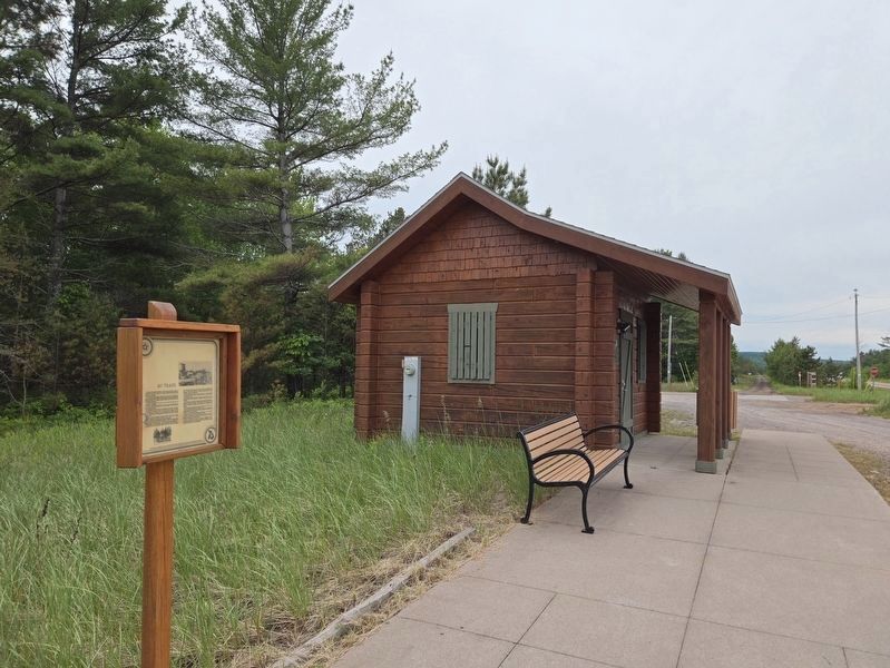
On Arbutus Street at Michigan Route 28, on the right when traveling north on Arbutus Street.
AuTrain, a French term meaning "at the shortcut or traverse" was one of the earliest sites visited by white men as they travelled along Lake Superior's
south shore. The river was part of an ancient Indian route between Lakes
Supurier and . . . — — Map (db m278428) HM
White pine, cedar, and hardwood logging led to early development of the region. The Upper Peninsula logging industry of the late 1800's and early 1900's has been romanticized in lore and story, in written and oral histories. Men like Wellington . . . — — Map (db m226824) HM
On Au Sable Point Trail (County Road H-58) 1.9 miles east of Sullivans Landing, on the left when traveling east.
When Pictured Rocks National Lakeshore was authorized by the U.S. Congress in 1966 as America’s first
national lakeshore, the enabling legislation called for
the construction of a “scenic shoreline drive” as part
of the park’s development. . . . — — Map (db m253843) HM
On Log Slide Road north of County Route H58, on the right when traveling north.
This area was logged in the late 1800's for the large white and red pine and white cedar. Then, in the 1930's and 40's the virgin hardwoods were logged. After the initial logging era, much of the land was tax delinquent and reverted to the State of . . . — — Map (db m226638) HM
Thin black lines indicate changes in relevance. Between each pair of lines entries are ordered geographically but all have the same relevance.
* Inflectional forms of words are their plurals, singulars, and possessives as well as gramatical tenses and similar variations.