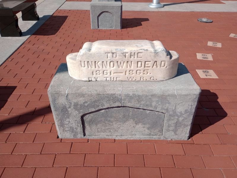
On North Jackson Street at East Clinton Street, on the left when traveling north on North Jackson Street.
(Upper - Bronze Plaque:)
This Tablet Is Dedicated
To The Memory Of
The Revolution Soldiers
Buried in
Clinton County
Captain Harmon Aughe •
John Applegate •
William Carter •
Thomas Harris •
John Reed •
Frederick . . . — — Map (db m21438) WM
On East Clinton Street east of South Main Street, on the left when traveling east.
( Center Panel )
Clinton County
War Memorial
All Gave Some.
Some Gave All.
Dedicated to All
Clinton County
Veterans
( Left - Large Panel )
Civil War * 1861 - - 1865
( Row One )
Wm. H. Abbott • Alfred R. . . . — — Map (db m21436) WM
On North Main Street at East Washinton Street, on the right when traveling north on North Main Street.
( Top has Insignia of the "Navy Club U.S.A." )
This memorial is erected to
revere, honor, and perpetuate
the memory of our departed Shipmates
Roy E. Boggess
Ship No. 11 — — Map (db m21430) WM
Near Lincoln Highway (U.S. 30) just west of Monroe Avenue, on the right when traveling west.
In 1912, there were approximately one million motor vehicles registered in the United States but few good roads. Most of the roads outside of urban areas were dirt that turned to mud when wet. Long-distance travel by car was still very much a . . . — — Map (db m162418) HM
Clinton County was a major center of activity for the Shawnee, Miami, and Delaware Indians. Early traces and trails developed as Indians traveled from village to village; gathered flint, salt and gold; traded furs, mica, and feldspar; and hunted . . . — — Map (db m27827) HM
On Front Street (Pennsylvania Route 153) just north of Locust Street, on the right when traveling south.
A journey down the West Branch tells the tale of lumbering in Pennsylvania, from the early lumber mills to today's sustainable forests. As you float downstream you will see the legacy of lumber; the "rafting points" used by river pilots to . . . — — Map (db m251275) HM
A journey down the West Branch tells the tale of lumbering in Pennsylvania, from the early lumber mills to today's sustainable forests. As you float downstream you will see the legacy of lumber; the "rafting points" used by river pilots to . . . — — Map (db m263023) HM
A journey down the West Branch tells the tale of lumbering in Pennsylvania, from the early lumber mills to today's sustainable forests. As you float downstream you will see the legacy of lumber; the "rafting points" used by river pilots to navigate . . . — — Map (db m87639) HM
Near East Main Street (U.S. 22) at South Walnut Street, on the right when traveling east.
Revolutionary War
Clinton County did not exist when the Revolutionary War was fought, but it was the brave veterans of that war who settled this area of Ohio. Short on cash, our young country paid her soldiers with land grants in the newly . . . — — Map (db m214753) WM
Thin black lines indicate changes in relevance. Between each pair of lines entries are ordered geographically but all have the same relevance.
* Inflectional forms of words are their plurals, singulars, and possessives as well as gramatical tenses and similar variations.